Day 25 – Saturday, August 30, 2025
On this Saturday, there was a small commotion at the "modern" church – a mess of sorts was in full swing, with about half a dozen people celebrating a mass.
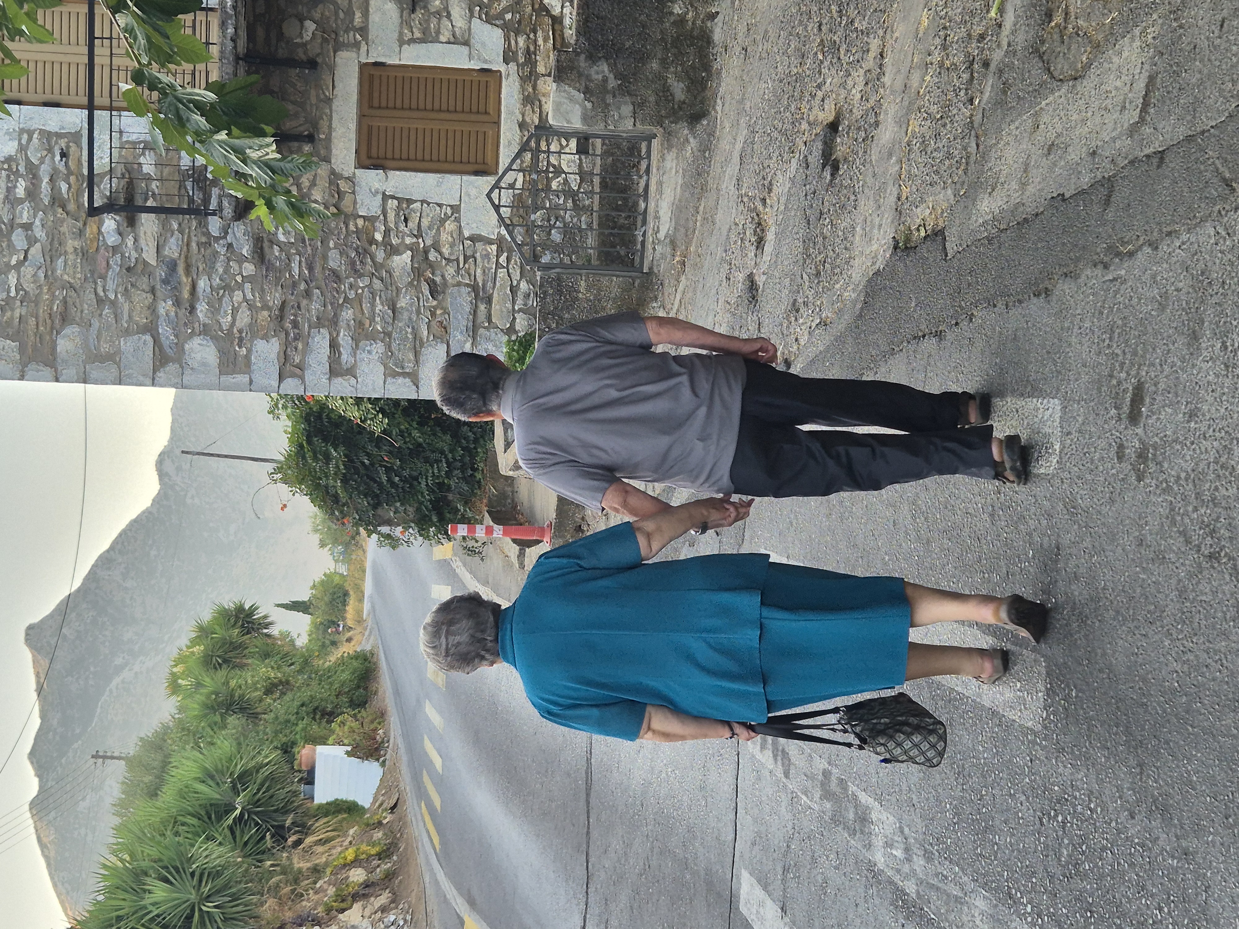 A couple heading to the church
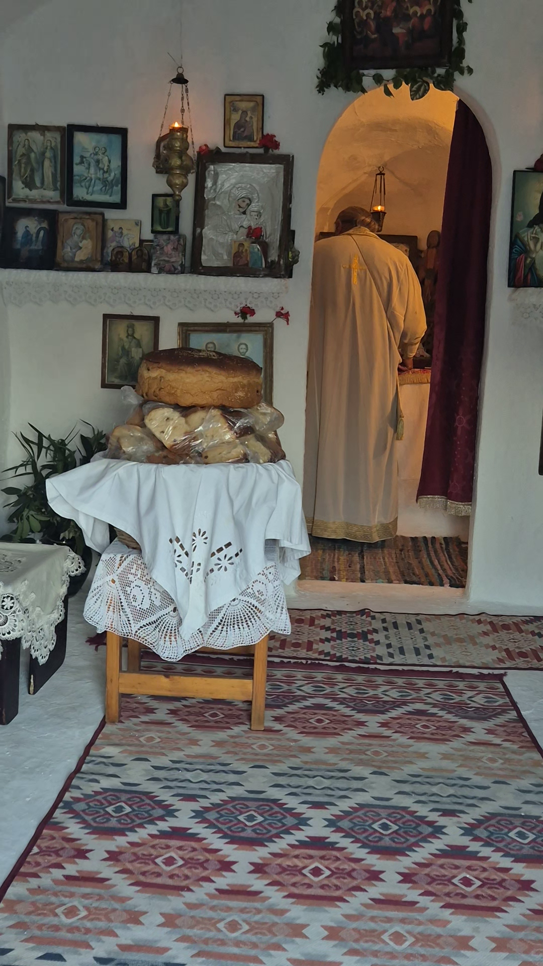 I could have helped in consuming all that tasty bread...
I was now about 65 kilometres from the tip of the peninsula – doable in a day. I would return to Kalamata on Sunday and take the bus on Monday morning, catching the ferry that evening. The plan was nicely taking shape!
I started riding around 8:30 am, passing through small villages, which were getting more and more “rough” on the edges.
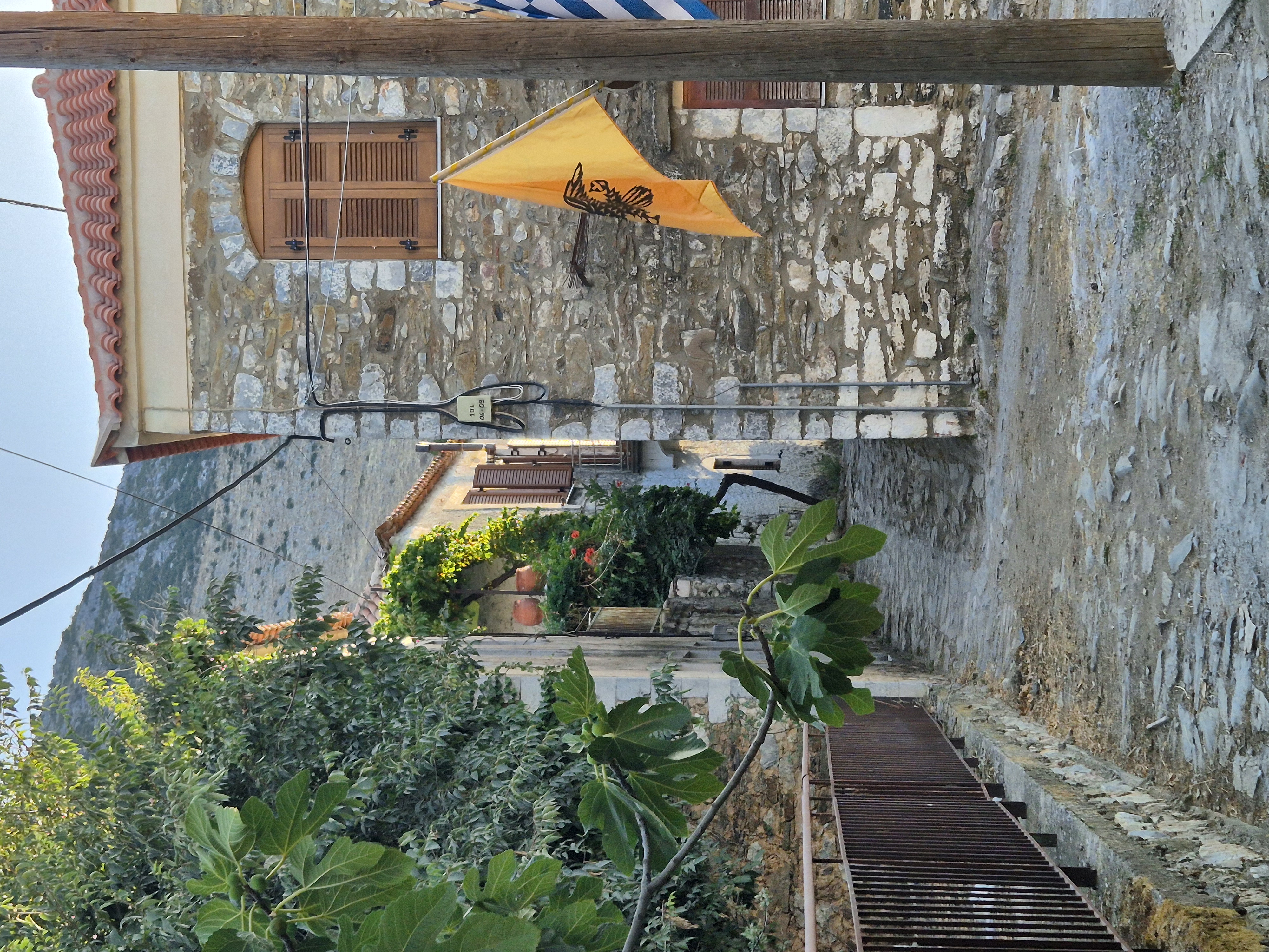 Stone houses in the villages
I was now entering “tower house territory.” These tower houses are living testaments to the region’s rugged history and cultural resilience. Tall, narrow stone towers with minimal windows, built for defense, were influenced by Byzantine military architecture and crafted by generations of skilled local masons. It reminded me a bit of Svaneti in Georgia – similar architecture is found there.
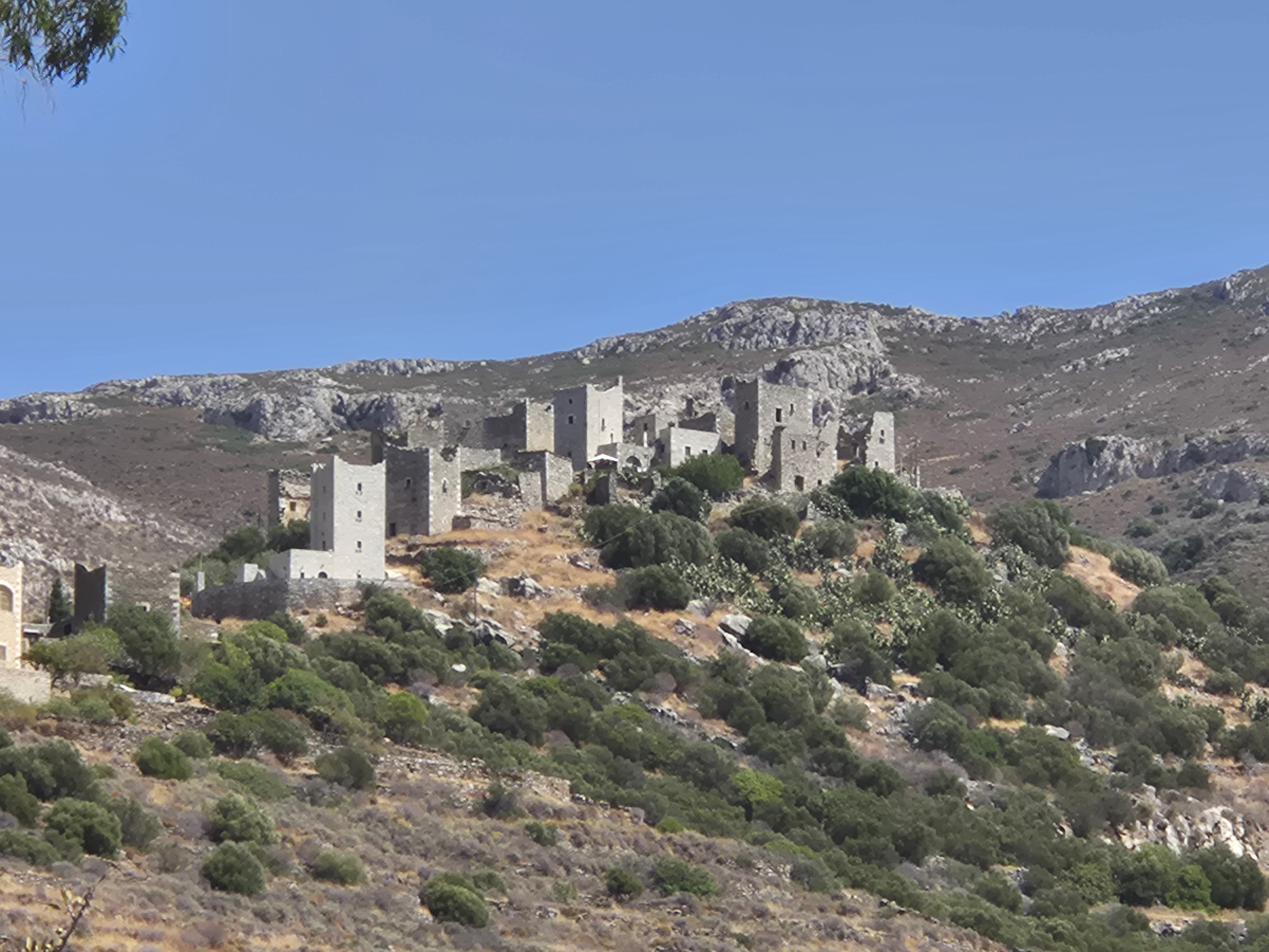 Incredible scenes – back then, each house had a tower...
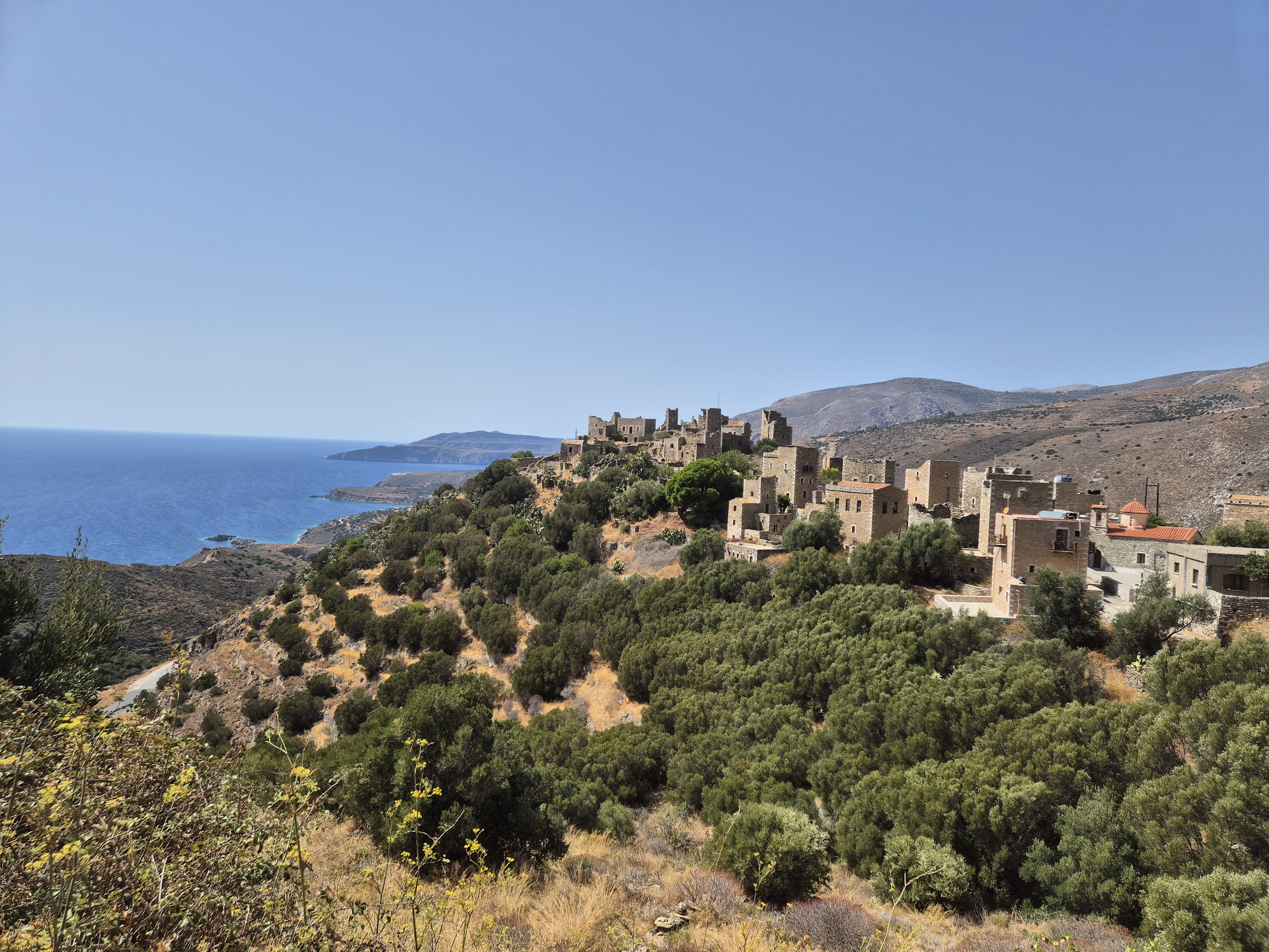 ...reminiscent of Georgia
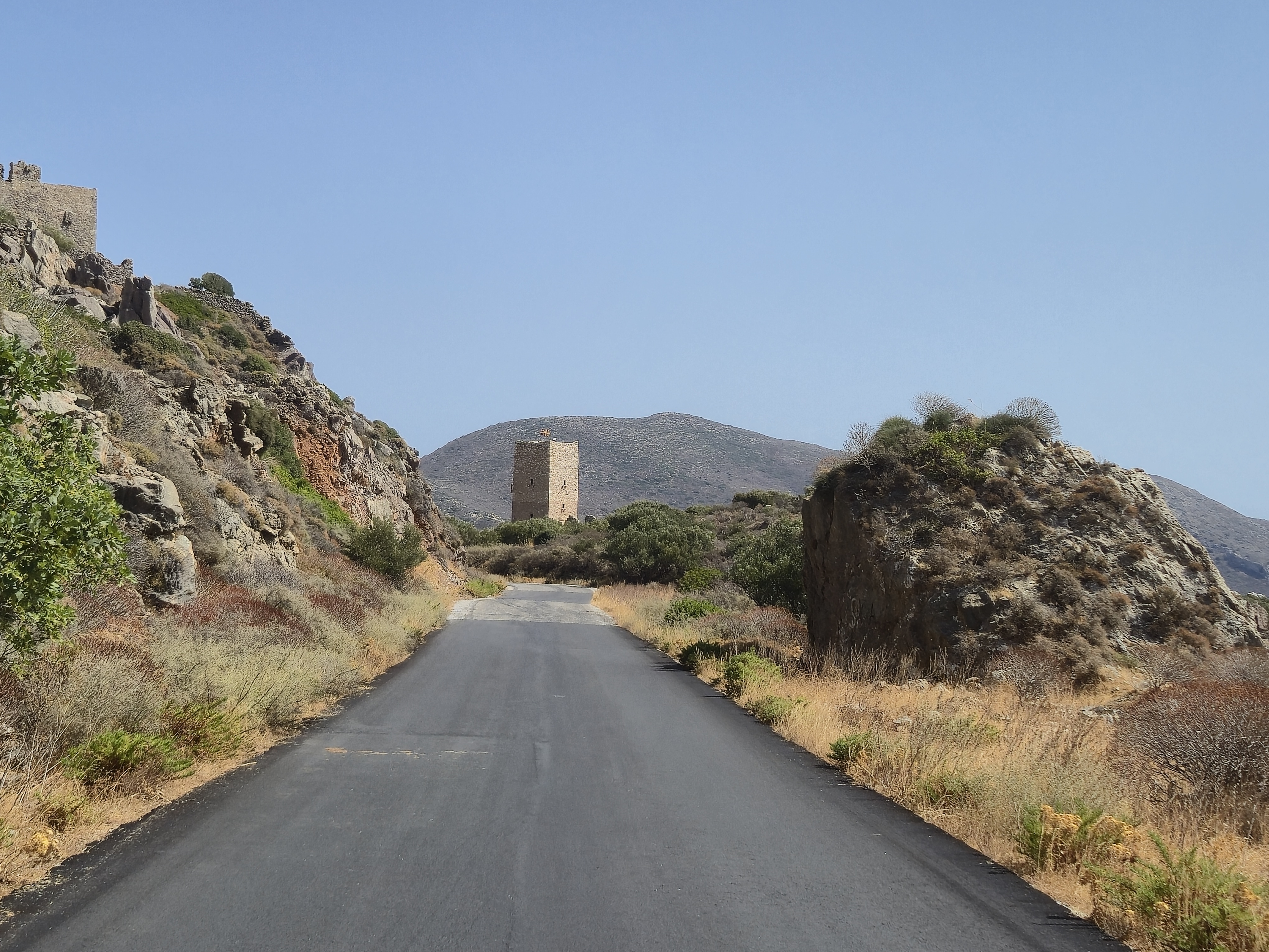 Guarding the only road
Another highlight on the peninsula is the large number of churches – someone told me there were around 1,200 – and I visited half a dozen or so.
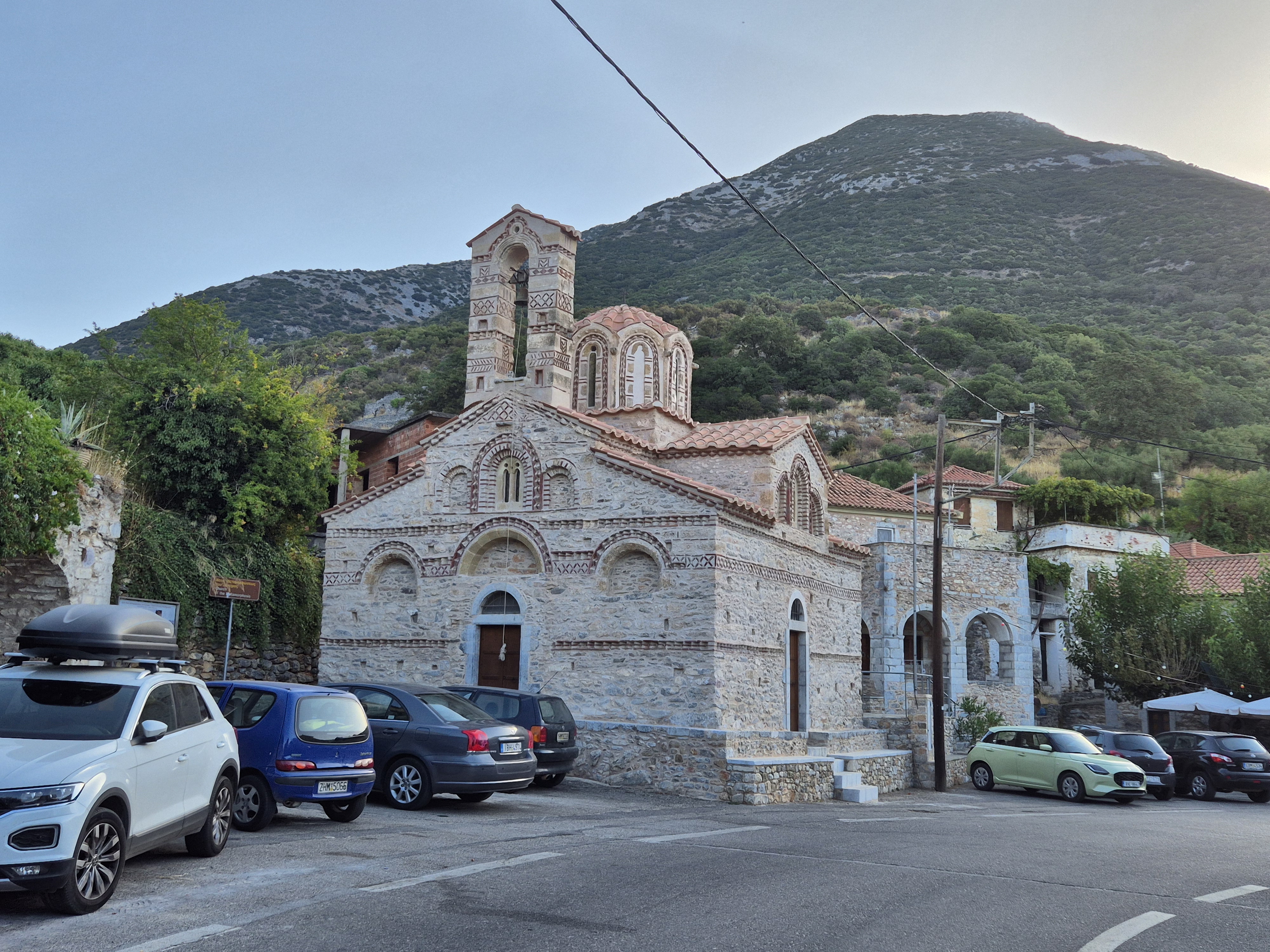 One of the 1,200 churches
Breakfast was at an amazing bakery – here I bought some presents for my family.
I reached a small village called Itylo, from where supposedly a bus ran once a day to Kalamata. Unsettlingly, when I arrived, none of the inhabitants had heard of this bus service. Uh-oh. Then I found a family who actually seemed to know about it, mentioning that the bus leaves daily at 3 pm, outside the village, from “under the big tree.” Hmm, not the most reassuring statements I’ve ever heard. Well, on this Saturday, that was music for the future – i.e., the following day.
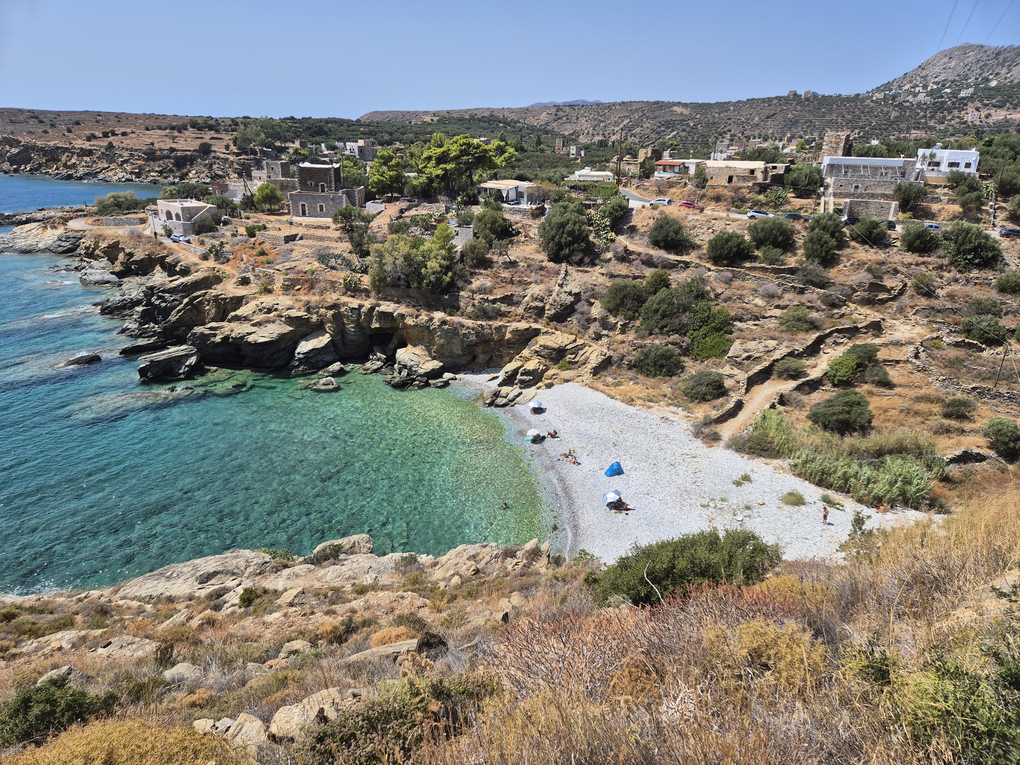
Following the village, I had an amazing view of the road ahead – now there was a big drop (ha! a descent!) to a bay known as Neo Itylo, a picturesque bay characterized by towering mountains leading to clear, sapphire-blue waters, popular for waterfront restaurants, hotels, and beaches.
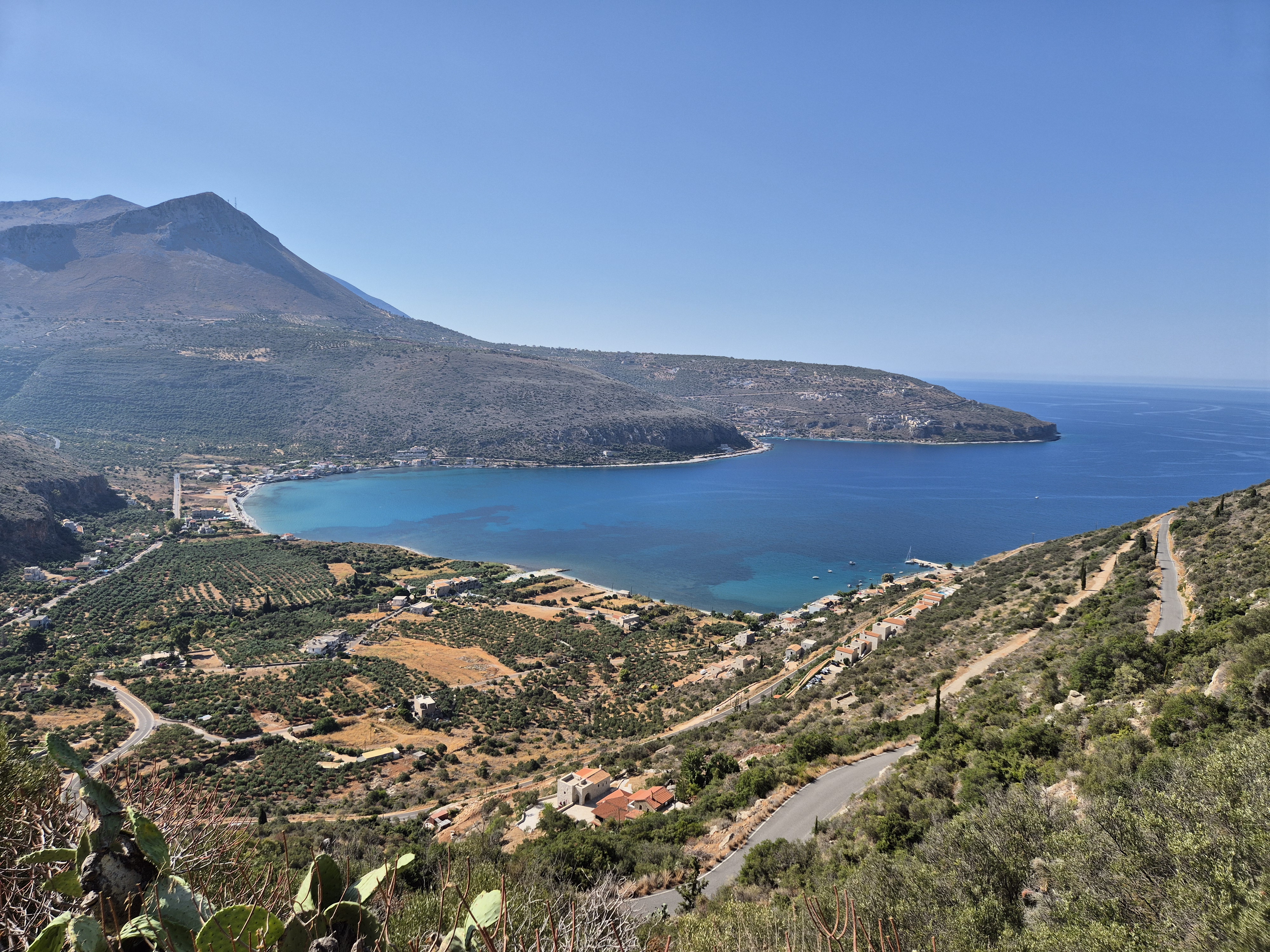 What a view! You can see the descent – then, alas, came the ascent
I descended to the bay – and, as you might have guessed – a mega ascent awaited. All the distance (and more) that I had lost had to be regained. At the top, I reached a town called Aeropoli, a pretty but rather touristy place. It was Saturday, and an open-air farmer’s market was in full swing.
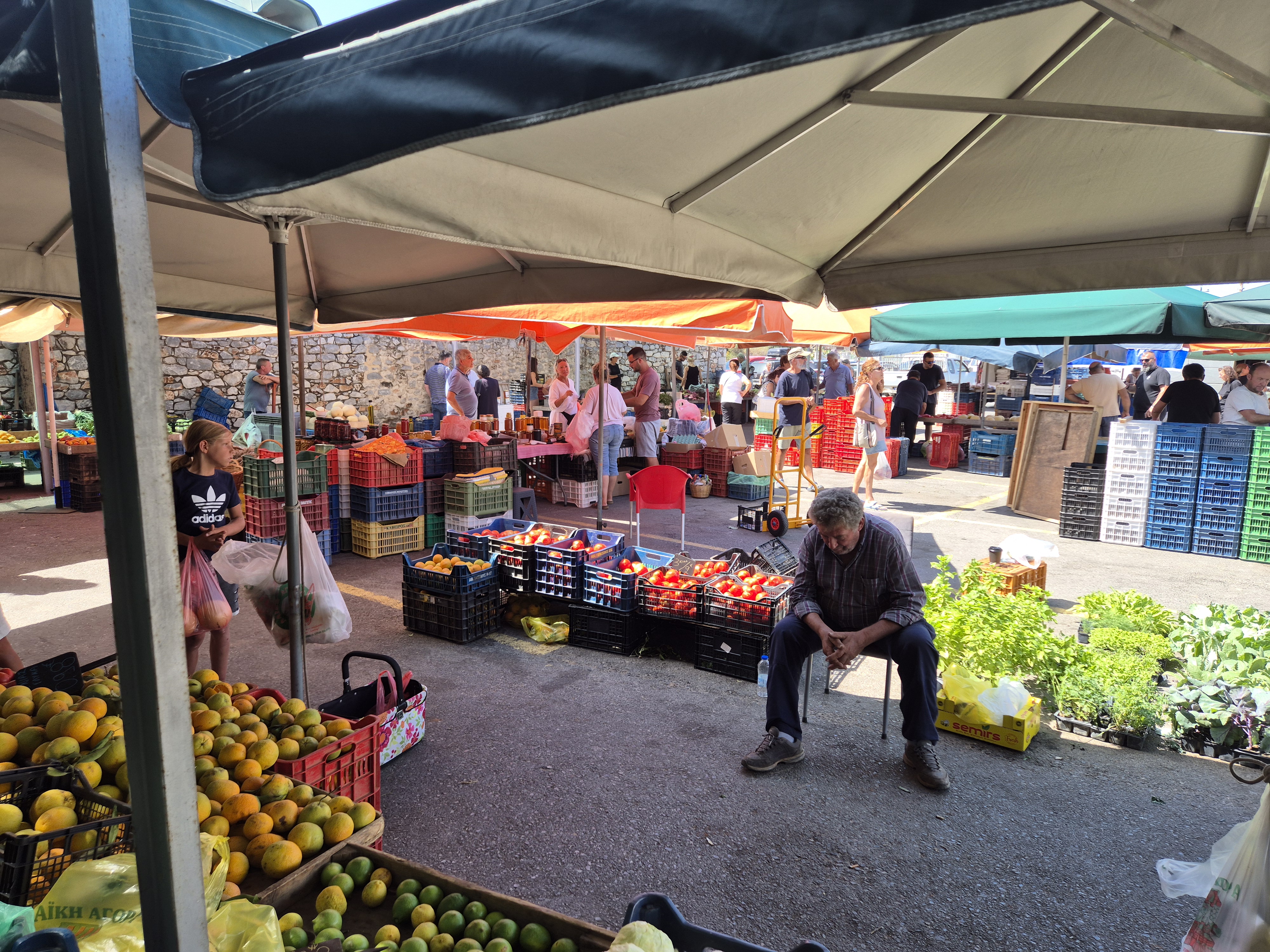 Business a bit slow
Next to the market, I spotted a busy bus terminal. I was treated like in rural Hungary – the lady at the counter impatiently explained (in Greek, with someone translating) that “her” buses had nothing to do with Patras. All she could give me was a phone number in Patras to call. Interesting – the two towns are only a dozen kilometers apart; Aeropoli is bigger with an actual bus station. Why don’t buses to Patras leave from there? A modest suggestion.
More churches, more tower houses, more small, rocky beaches – I kept pushing on. Something quite weird happened: I checked the distance to the very tip of the Mani peninsula – only 20 kilometres. The road was descending slightly, so I thought I could finish the last 20 km of my trip in an hour.
 It hurt my heart, but I was on a mission to reach the end of the peninsula, so did not go in for a swim
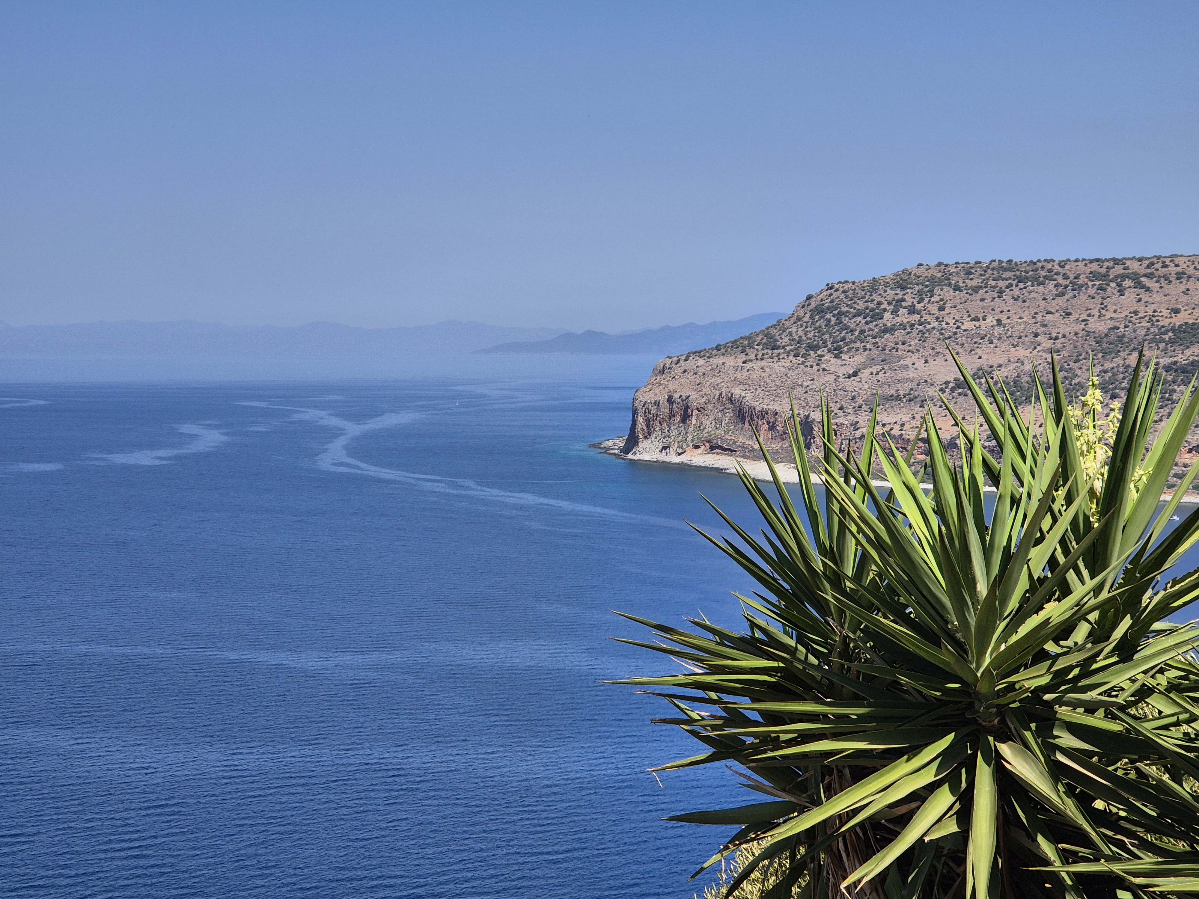 Scarce vegetation
I could not have been more wrong! Little did I know, there were not one, but three major inclines ahead. After the first ascent (then a nice descent), I spotted a road on the side of the mountain and thought it led to the huge antenna at the summit. Bullshit – that was my road, and the only road, heading south. The views were unique and breathtaking, which probably motivated me to push on. The second descent brought me to a beach at the foot of a barren hill – only four kilometers to go.
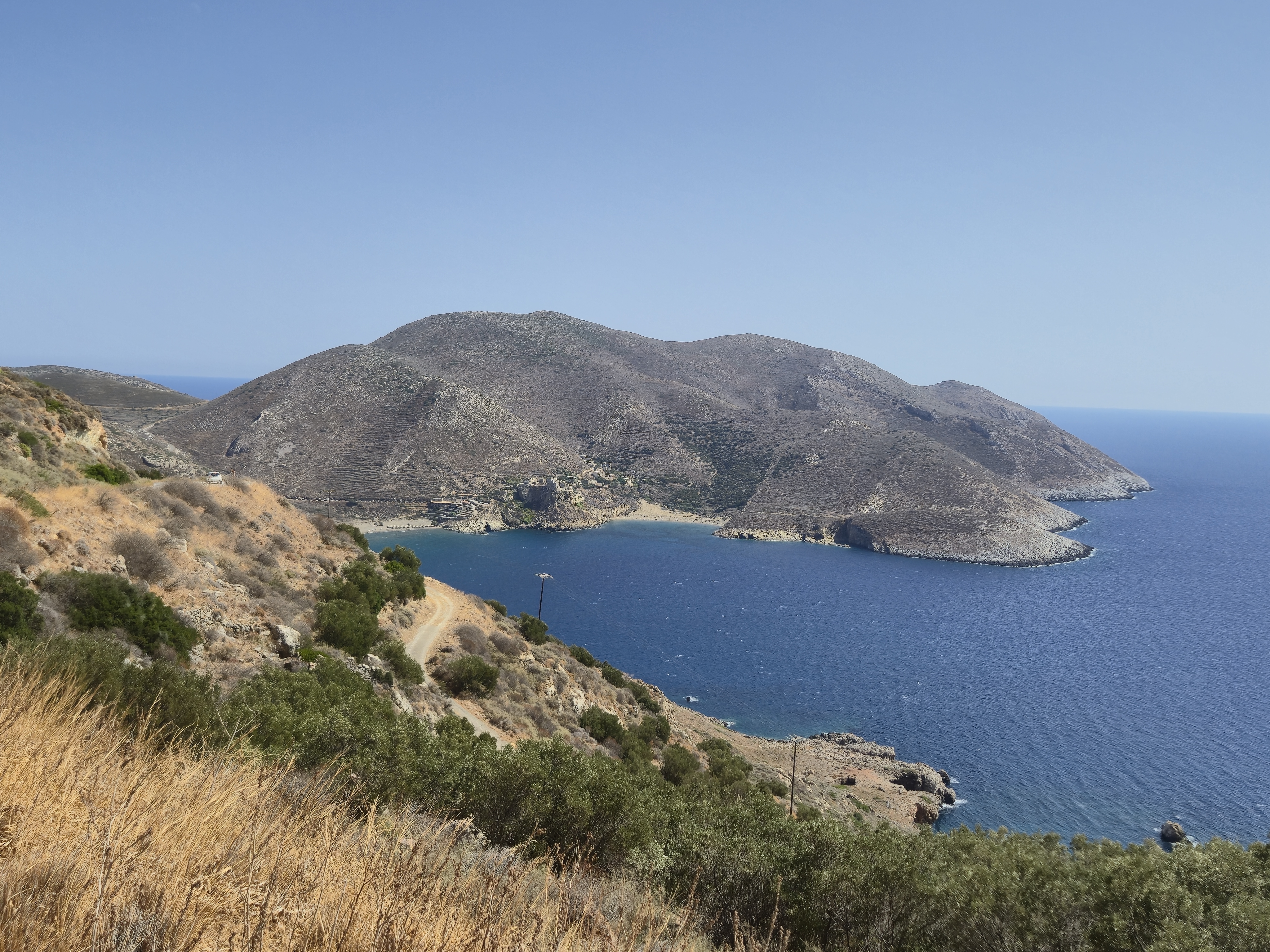 Beach at the foot of the barren hill
As if the Gods were playing a game with me – or the Germans I had met earlier proclaiming I could not make it – one more mega ascent awaited, followed by a big descent. Not expecting a tavern, I went to the first house I saw and asked for water – two ice-cold bottles, thanks so much!
The paved road ended, and I reached the southern tip of the Mani peninsula reachable by road – the southernmost point of mainland Greece. It was a magical place even in antiquity – no wonder the Sanctuary and Death Oracle of Poseidon were located here. This place was believed to be the entrance to Hades.
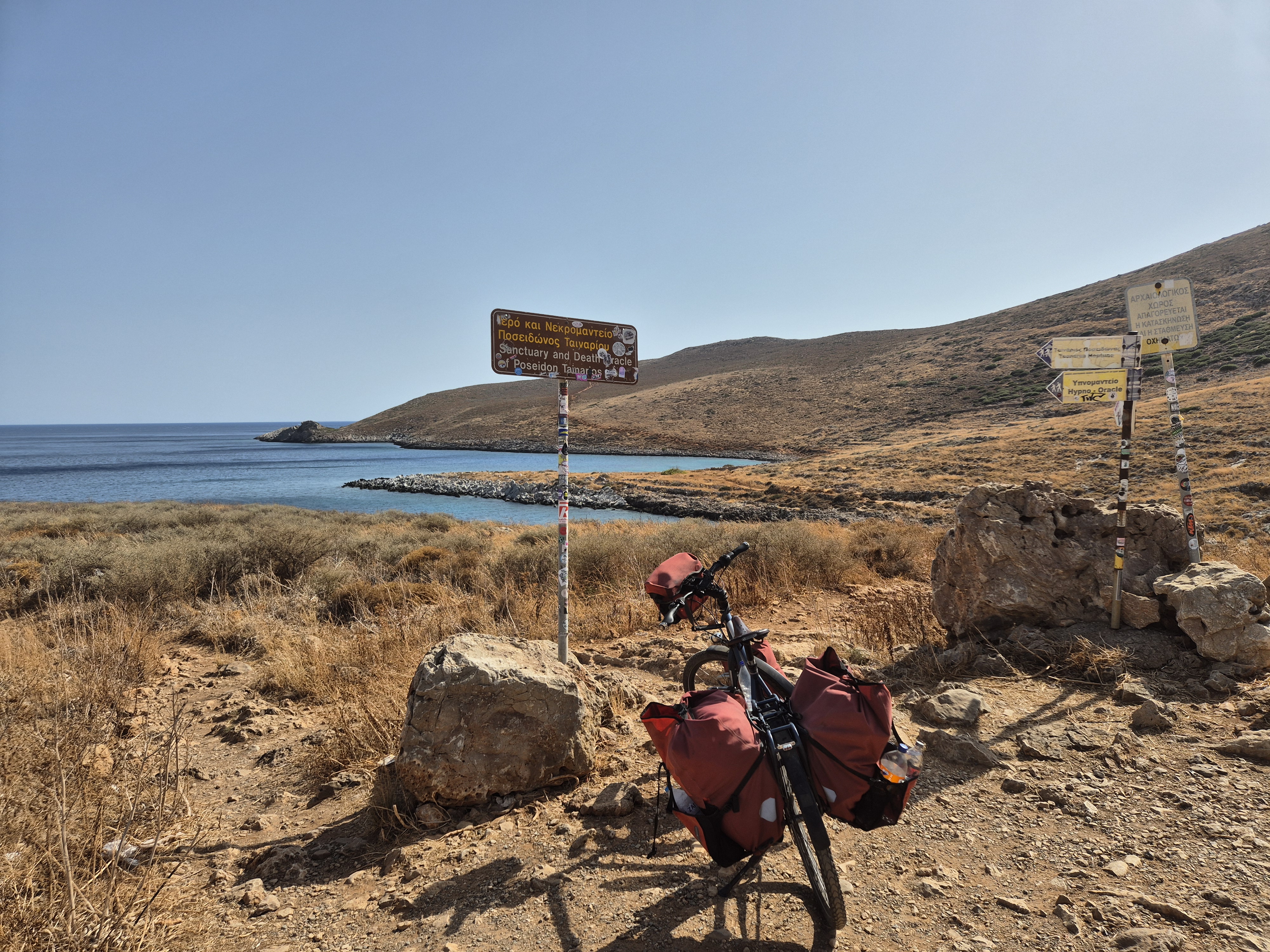 At this spot, the road ended – and I was at the southernmost point of mainland Greece
Now I headed for a lighthouse at the very tip, on a rugged dirt path. A 2-kilometer, half-hour walk – quite a feeling. On this Saturday afternoon, at 5:30 pm, I had reached the goal of my journey – the end of the Mani peninsula. Whatever started in Orasje, Bosnia, was now over.
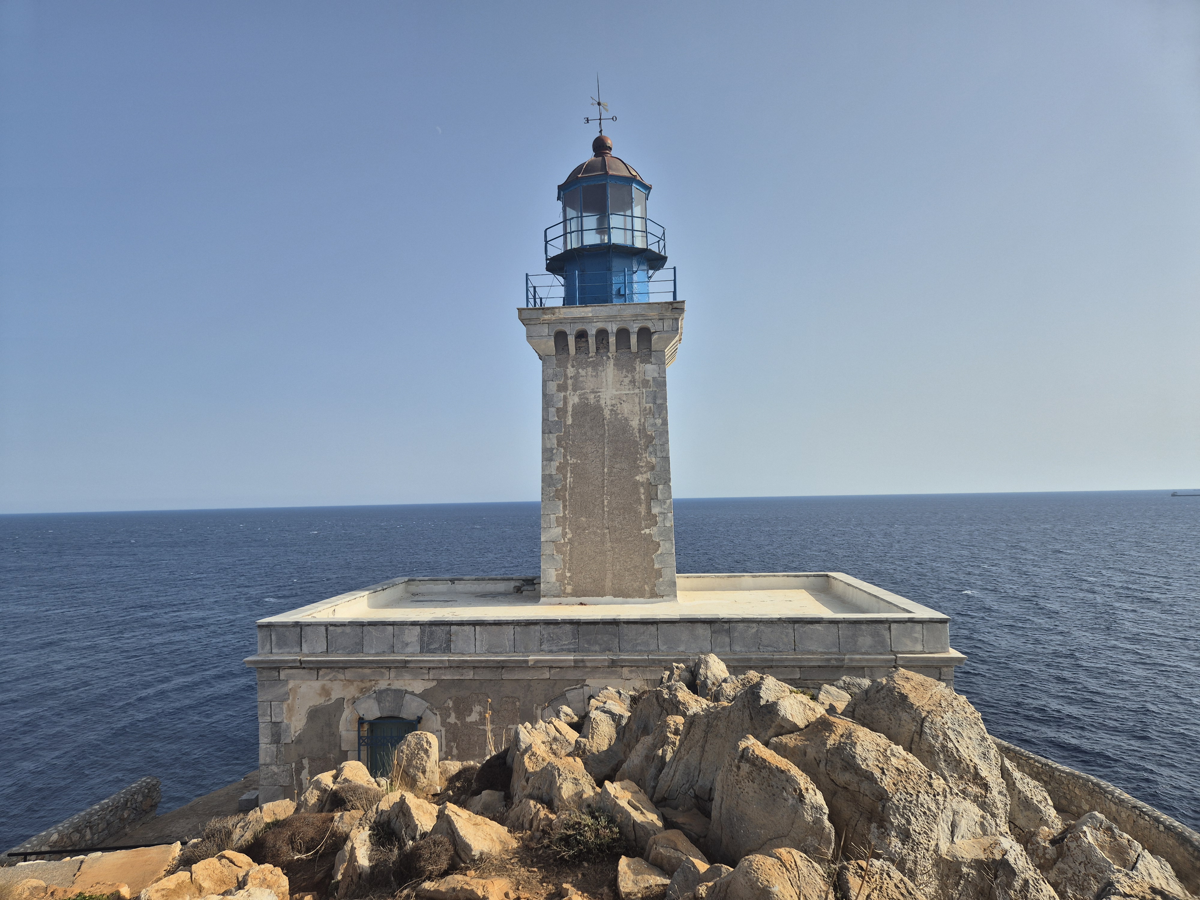 The lighthouse at the very end of the footpath
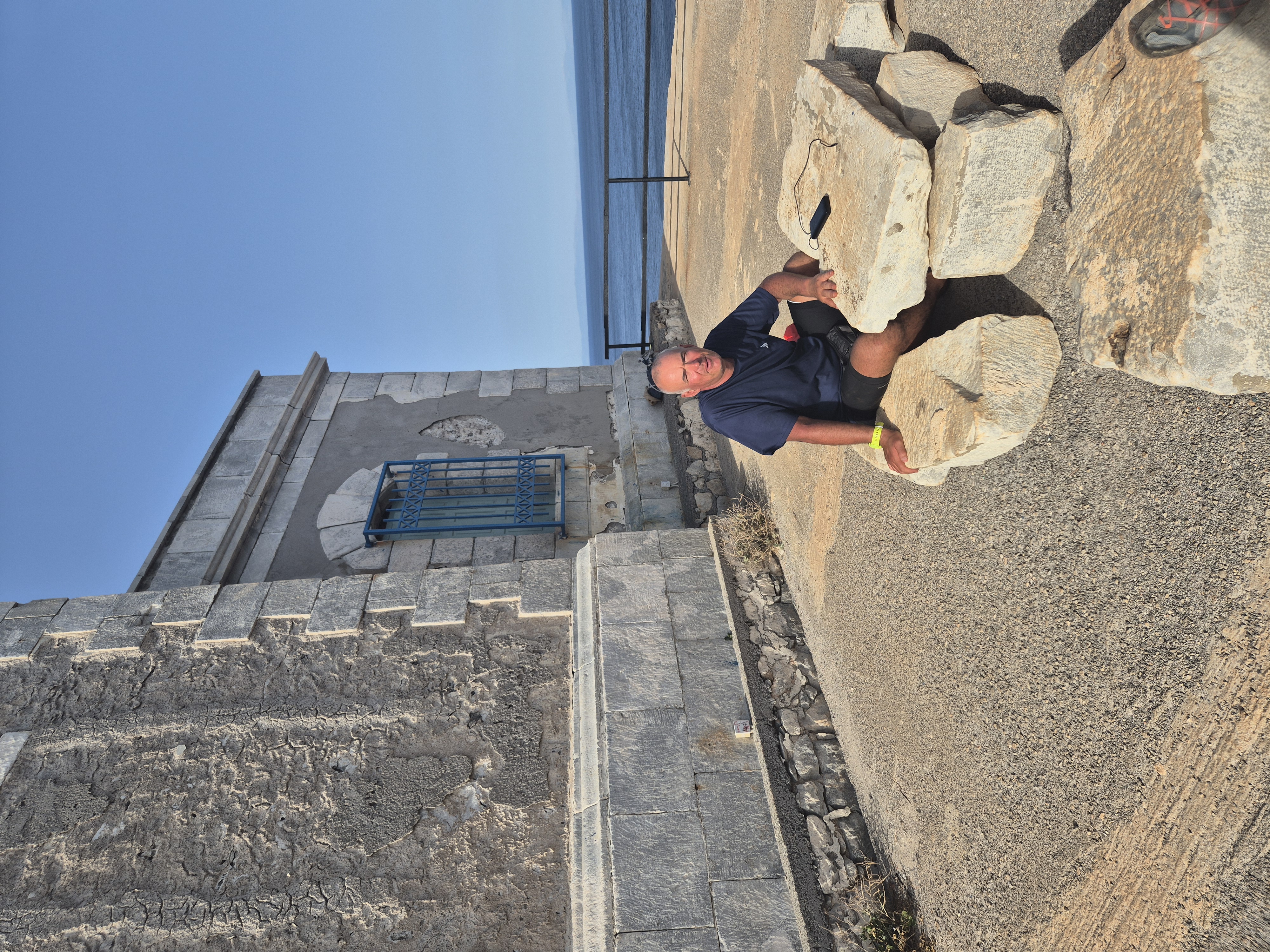 Taking a rest at the southernmost point of Greece – about to start my return voyage
I met a German family here and we chatted for a while; their 15-year-old daughter was a state champion in voltige.
Having reached the end, it was time to think of getting home. I walked back to my bike, granted myself one plunge in the sea, and had to be at Itylo by 3 pm the following day to catch the bus (assuming it ran).
I changed and went for an amazing swim – the water was crystal-clear, with some spectacular sea life, including a striped fish with about 15 “wings.” I asked AI what this could have been; it suggested a lionfish, with long, feathery pectoral fins and venomous spines giving the illusion of multiple wing-like appendages. Lionfish are native to the Indo-Pacific but are now invasive in the Mediterranean. Best admired from a safe distance, but I didn’t touch it.
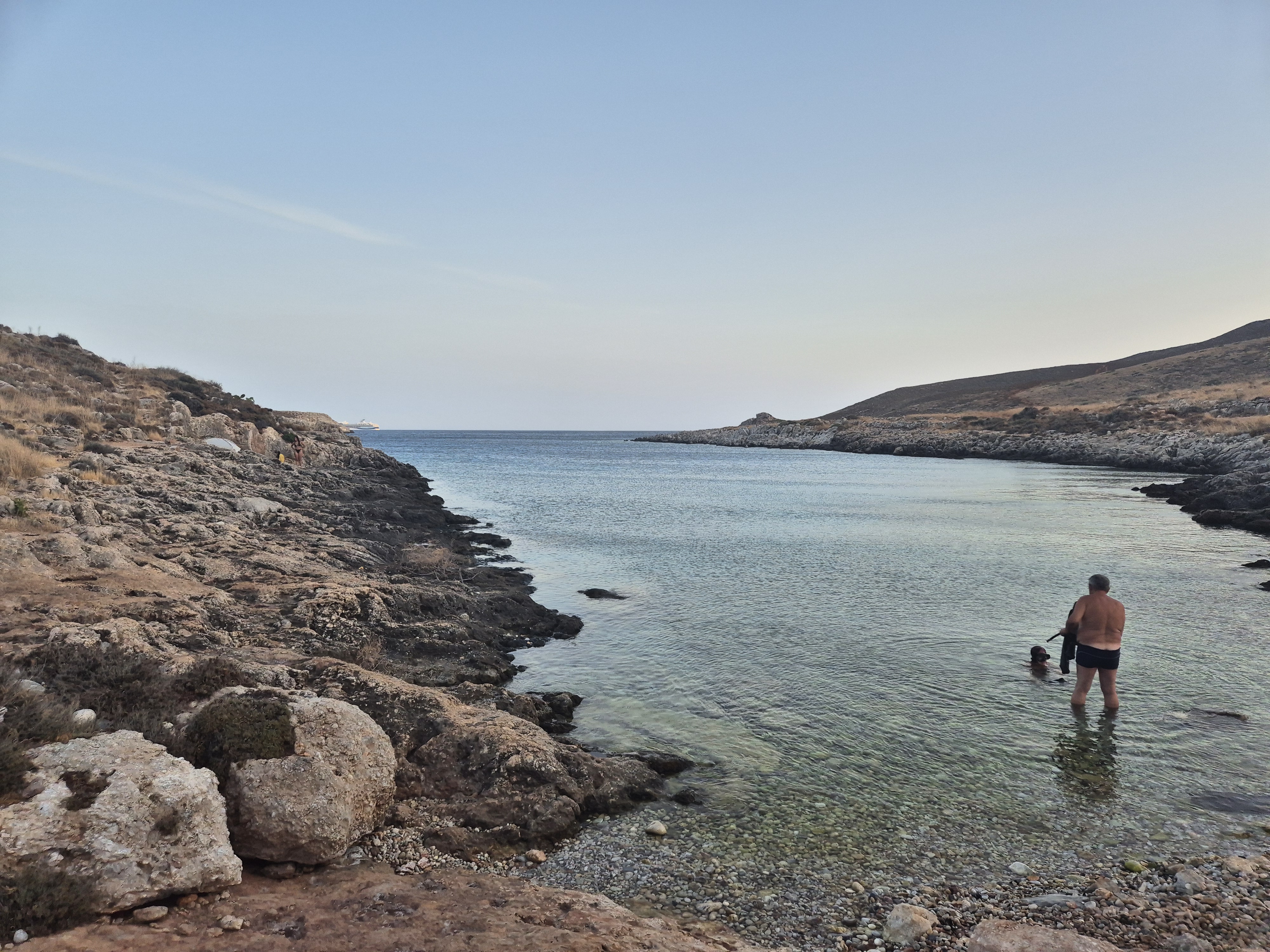 It looked unspectacular, but the water was crystal-clear, with lots of sea life
During the swim, I noted a natural rock terrace, partially occupied by a hippie-looking guy and his two girlfriends. I asked if it was OK to share; they said it was not a problem.
It was close to 8 pm when I finished the swim and got dressed. I decided to start my journey toward Vienna. Around 7:45 pm, I was struggling up from the coast. The road was narrow, so I had to watch for cars – hardly any alternative to my ascent.
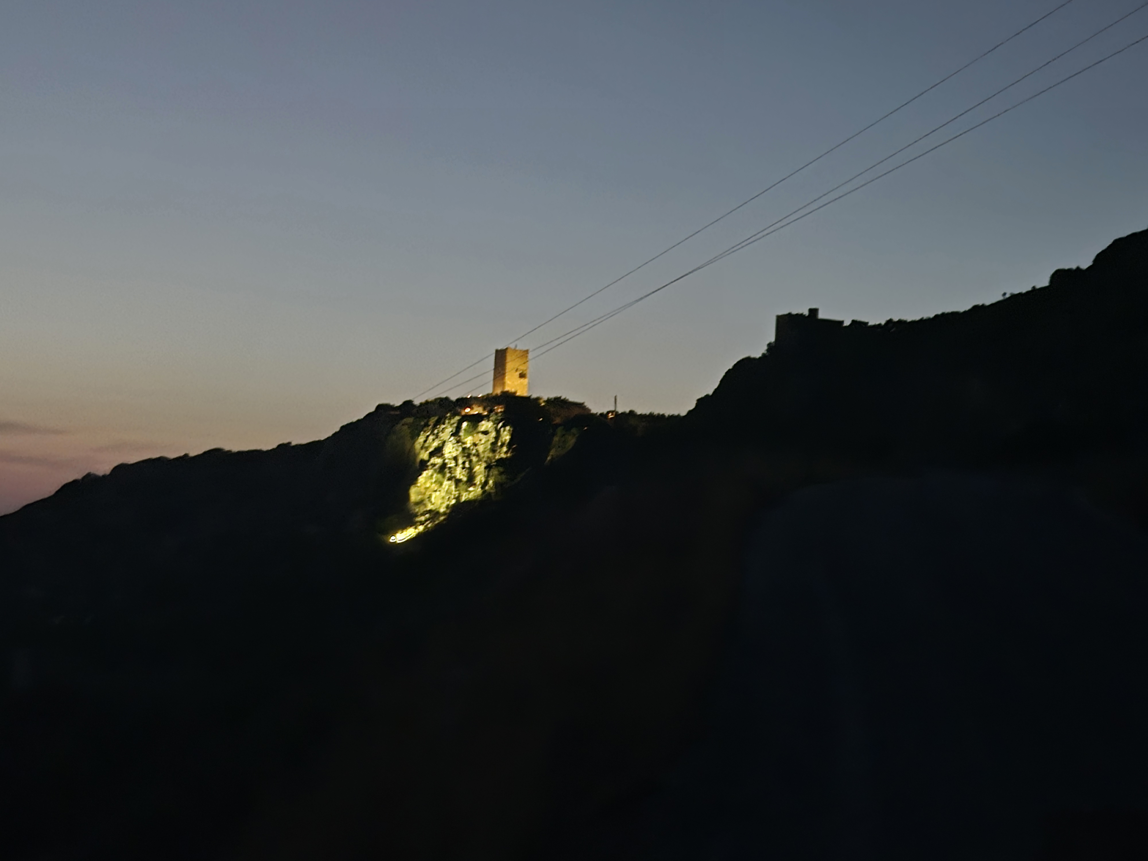 Nicely lit tower
7:45 pm on Saturday night was when I left – and (Achtung, Achtung! Spoiler alert!) I would arrive in Vienna at 10:45 pm Wednesday. That’s 4 days and 4 hours – roughly 100 hours; OK, 99 considering the time difference.
That evening, I made about 15 kilometers – a good start. Close to 10 pm, I called it a day and found a house with a gentleman on the balcony. I asked if I could pitch my tent on the nearby beach – he said it would absolutely be fine.
The path to the beach was rough; I had to haul my bike about 500 meters, taking 20 minutes. It was very rocky, but after scouting, I found a spot with some sand and fewer stones – so I pitched my tent and went to bed.
Around 2 am, I had to go to the “toilet” and saw a dim light on the edge of the beach – definitely man-made. Shortly after, about four people came to the beachhead. They realized I was not Greek and called out in English, “Oh, sorry that we woke you up, but we have to walk home.” No danger posed.
The ride that day was 63 km, with 788 meters of ascent. Both numbers felt much higher.