Dinosaurus & Dog Rocks
Day 24 - August 22
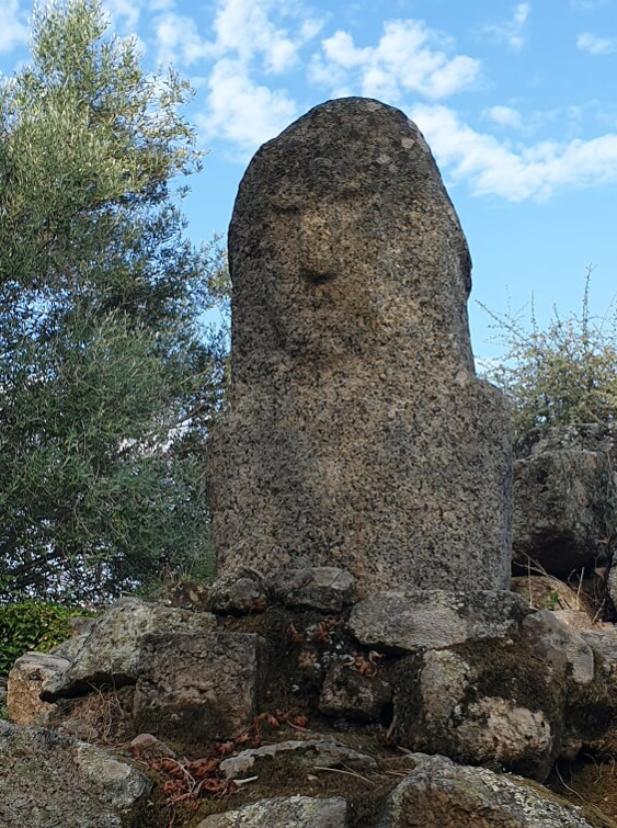
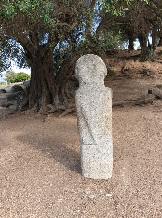
Around the end of the previous day, I passed some brown signs saying "Archeological Site Filitosa". I saw this more than once and my Michelin map gave it 2 (or was it 3?) stars. I researched a bit on the internet, it is a megalithic site with a history of about 5,000 years. Even though I dislike backtracking, I thought this would be interesting to visit.
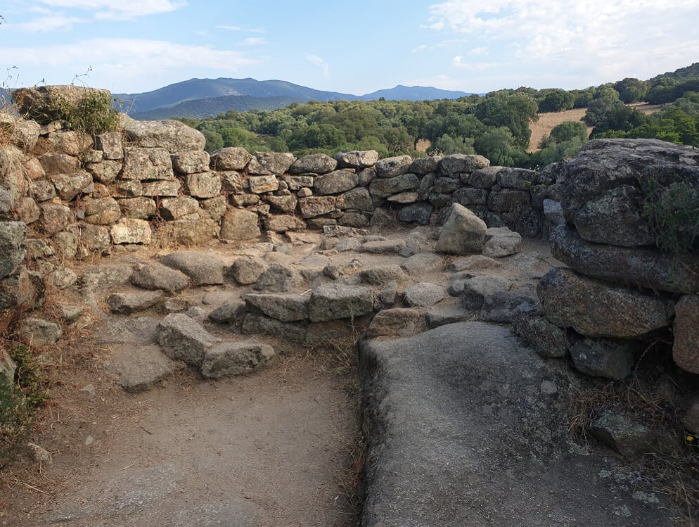
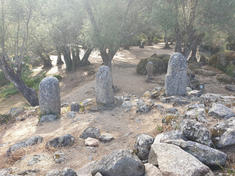
So I packed my tent, leaving the bags at the reception of the camping and started backtracking, not all too long, for around 10 kilometers. I reached there before opening, had a small breakfast at the gate and was one of the first ones to visit that day. It was quite interesting, here are some impressions.
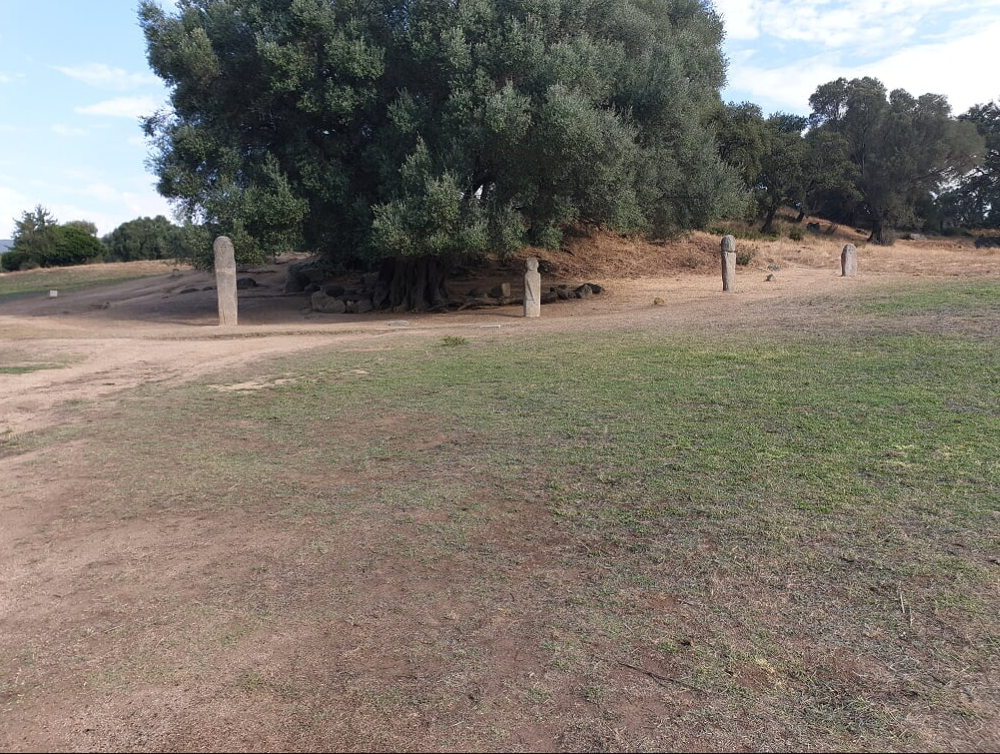
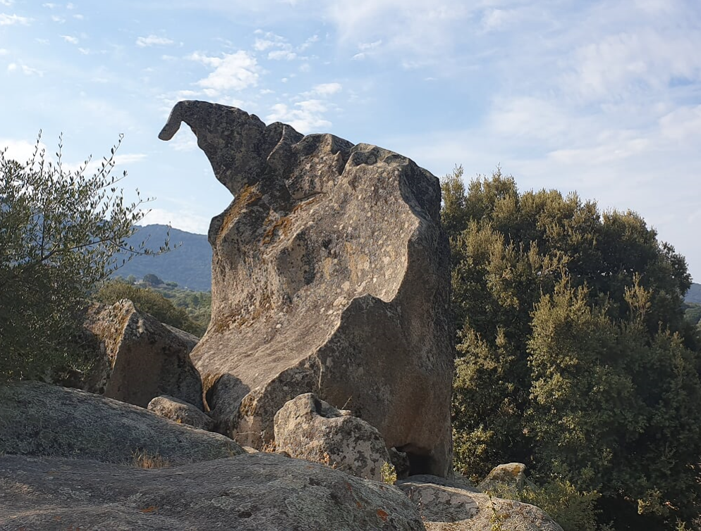
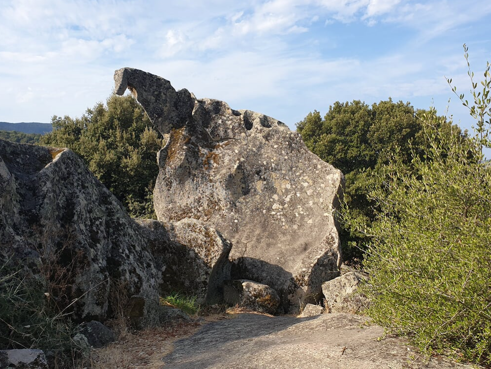
There was even a rock that looked like a dinosaurus...really!
Time budget was limited, so around 11, I was already back at the camping, loaded my bags and was off in an easterly direction.
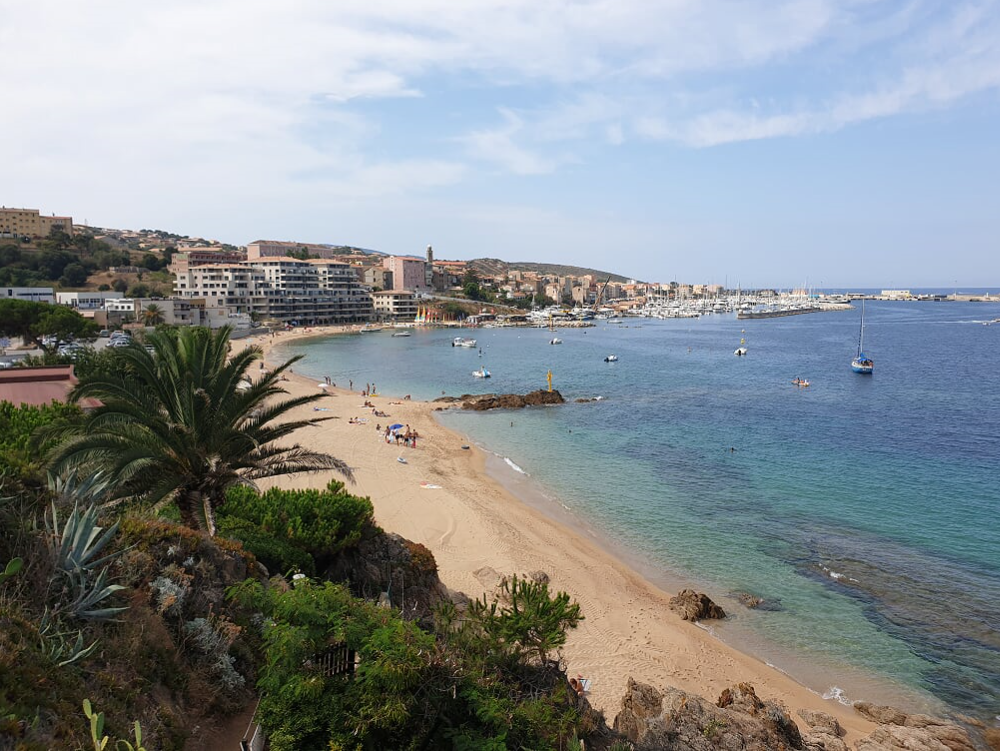
I reached the town of Propriano half an hour later, pretty, but nothing too exciting, so I continued towards the southeastern edge of the island.
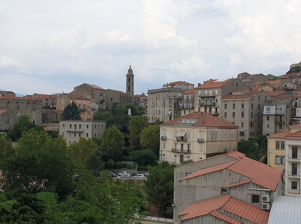
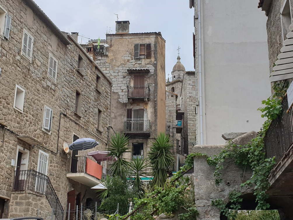
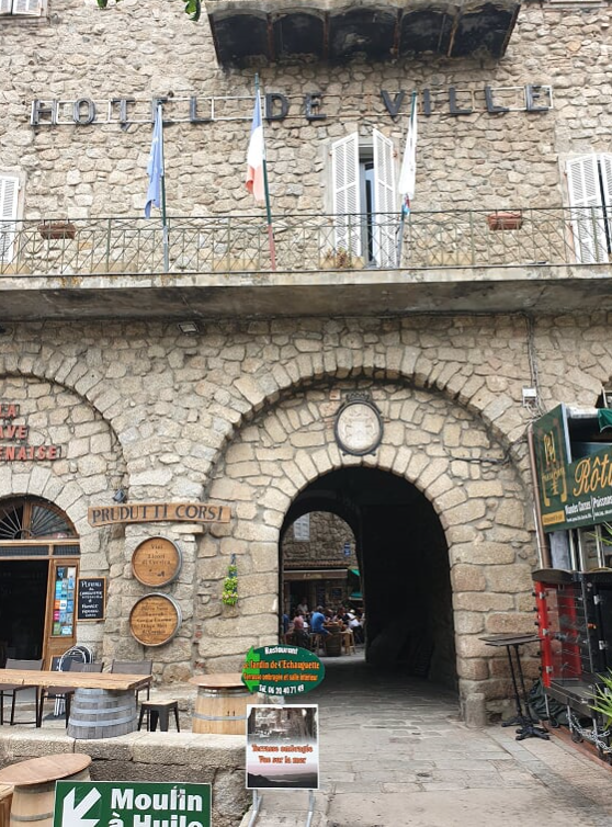
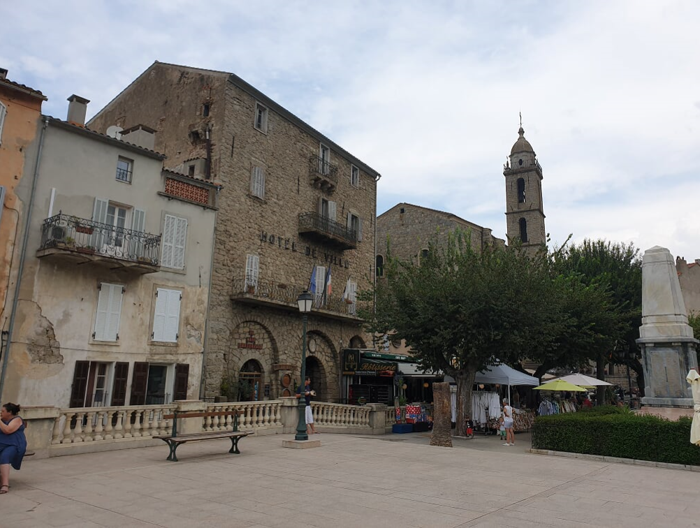
Not to my surprise, came a big uphill road, at the bottom of which I bought some fruits and (real tasty!) bakery products, then it was a climb towards the town of Sartene. From far, it did not look very appealing, but I was up for a surprise: it was a medieval city with granite buildings from the 16th century. From Wikipedia: "One of the main incidents in the town's history was an attack by pirates from Algiers in 1583, after which 400 people were taken away". Times have changed: it was now an attack by a lonely biker and I took no one with me.
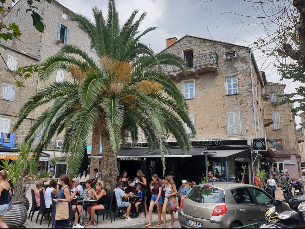
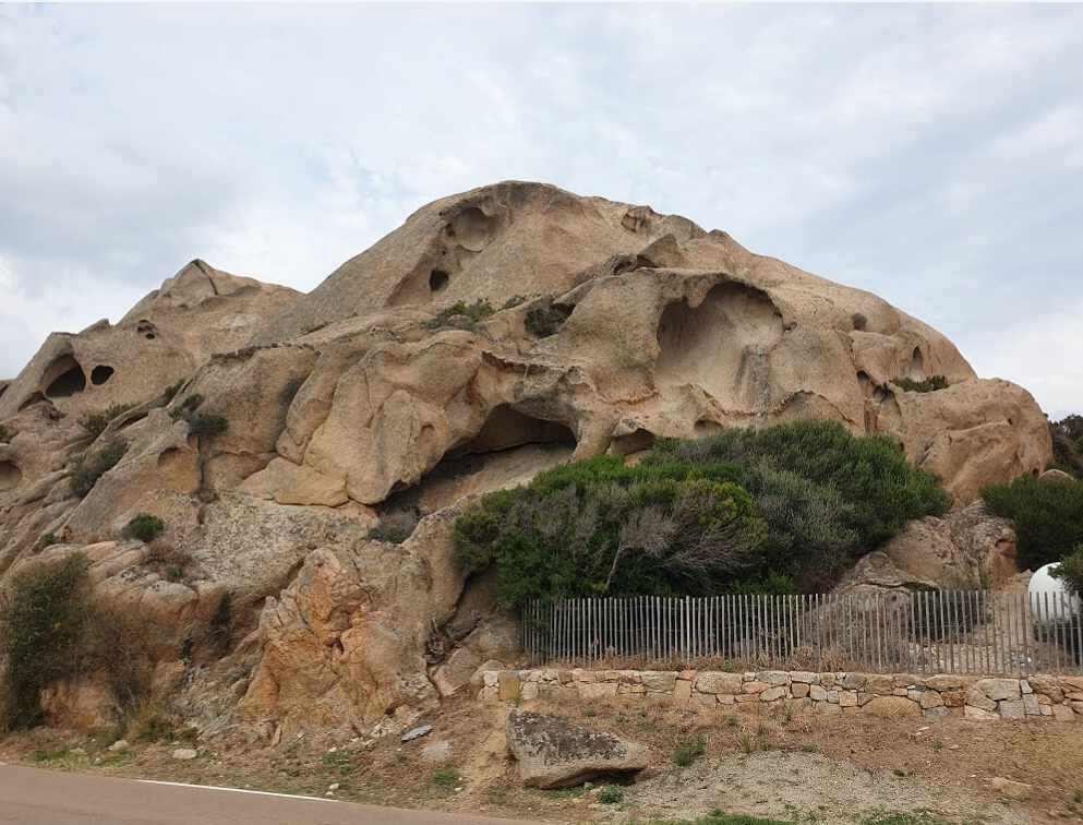
At a fully airconditioned shop, I refreshed my supplies, met some bikers from Italy heading the opposite direction and continued on the main road T40. It reached the coast again, with some spectacular rock formations, one is supposed to be a sitting dog - yeah, perhaps, maybe, potentially.
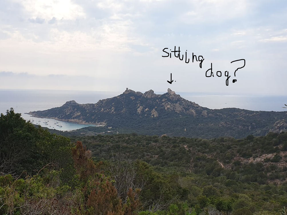
Maybe from this view? Also not quite sure - could be my lack of imagination.
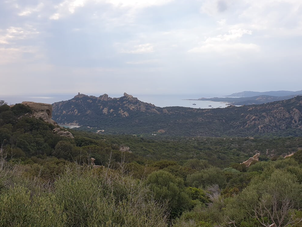
I was more impressed by these rocks.
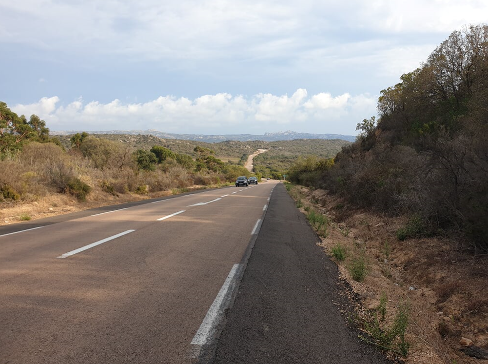
So, setting rocks aside, the road became was more like the ones I was in Utah or Arizona - this just shows the various faces of Corsica.
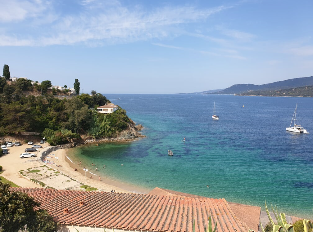
The road continued inland, but it reached the coast again. Here, at the Beach of Tonnara, was an amazing poster showing what was probably one of the nicest beaches in the world, so I decided to take a 3 km detour (downhill). Oh you marketing people! The beach was a boring bay flanked by rocks, looked more like a pool small kids like to piss in. OK, I was pissed. I did not even bother to go in for a swim, turned away, cursing at myself.
It was evening time I reached the town of Bonifacio, it looked very pretty, but I still had a steep hill to climb to get to a campground about 5 kilometers away, called Camping des Iles. I was aware that they might close at 8 pm - when I eventually reached there at 8:30, it was indeed closed, but a very friendly Italian (from Sardinia) caretaker welcomed me and directed me to an empty site.
Now I was at the southernmost point of the island, after having covered the entire north and the west coast as well. Only the east was missing. Bastia was about 100 miles to the north.
Here is the map for the day, I covered some 105 kilometers and had elevation gain and loss of 1,200 meters.