Sunday, June 2 - Day 13
Little did I know that this day would bring a strenuous hike.
I went for a short walk in the morning. Right next to my hype accommodation was a bakery, where they made delicious warm Georgian bread, the price of which was 1 Lari, a third of a Euro.

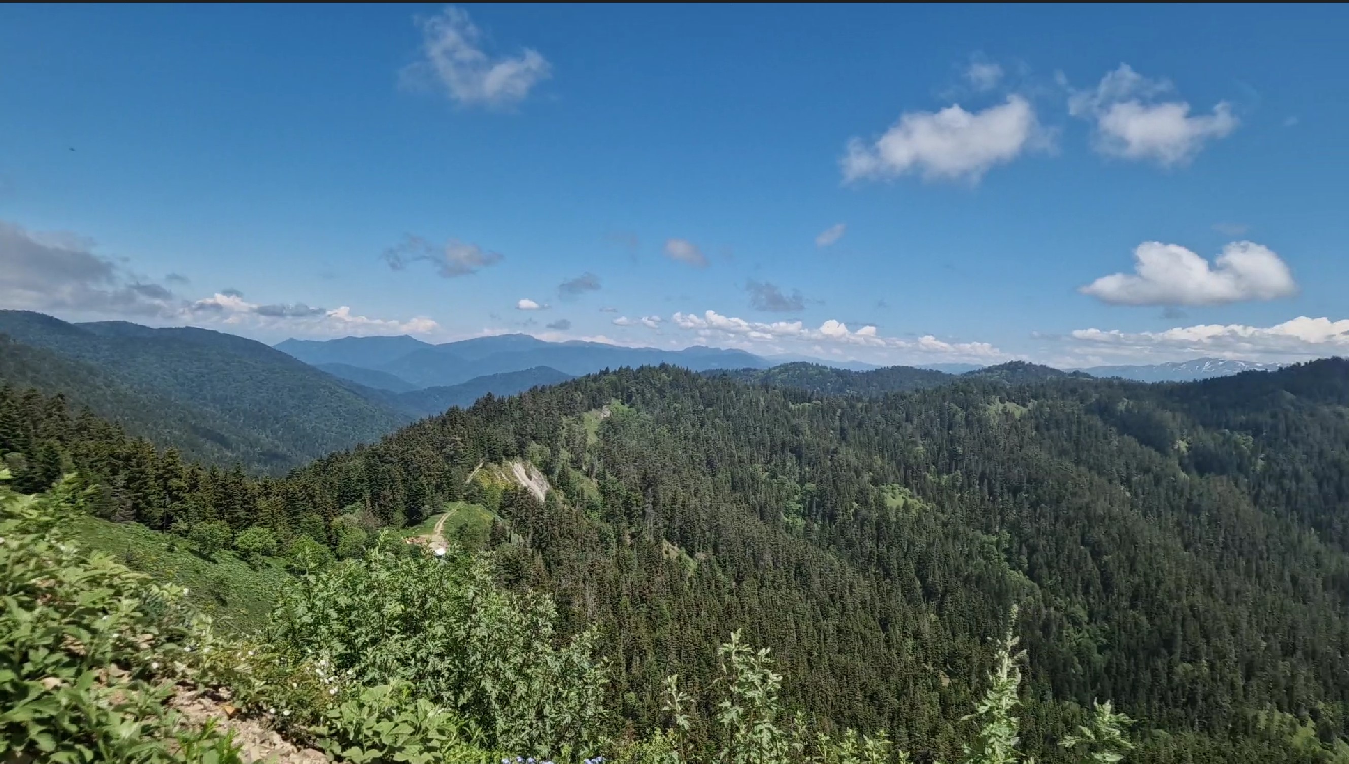
Not far from the town of Borjomi is the Borjomi-Kharagauli National Park. With 850 km², it is one of the largest parks in Europe, containing native forest and alpine meadows. Florian had already been there on a hike previously and on this day, we were set to go on an excursion together.
We met around 9.:30, after a short walk, at the bus and taxi station of Borjomi. Florian had mentioned that the entrance to the park was only a couple of kilometers from that place, but it would be more meaningful to take a cab to the trailhead, rather than walking through the outskirts of town. The hike itself was around 13 kilometers, according to our guidebook. I agreed and we started looking for a cab. The first cab quoted a price of €7 for the planned short ride, which was not much in Austria, but seemed like a "touristy" quote for Georgia. We then went to the second cab, who quoted an even higher price, we were a bit confused. A third cab went back to the €7, so, instead of wasting time of haggling, we got in and told him to drive us to the trailhead.
What we thought would be a 5-minute ride turned out to be definitely a longer one. 10 minutes, 15, even 20 were gone. We were driving next to a river, past some orthodox churches (which would have been a nice site to visit), when there came a sign for the national park trailhead. Florian then cried out, realizing his mistake - the park had two trailheads close to Borjomi and when showing the map to the cab driver, he pointed out to the further one! Hmmm. I thought if a cab-ride took 20 minutes, hiking it all back through mountainous terrain would take quite a long time. It did.
A sign at the trailhead, called Kvabishikhevi Station, said the path would be 18 kilometers, still manageable, so I was not worried, a bit longer than the 13 km we planned, but oh well. So we started our walk at around 10:30 next to a creek, two cows leading the way, at least for the first few hundred meters.

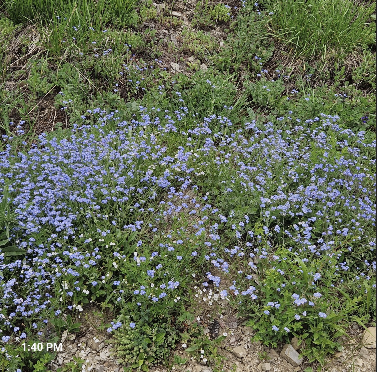
We got to a scenic meadow, and I was a happy fellow (I should have been a poet).

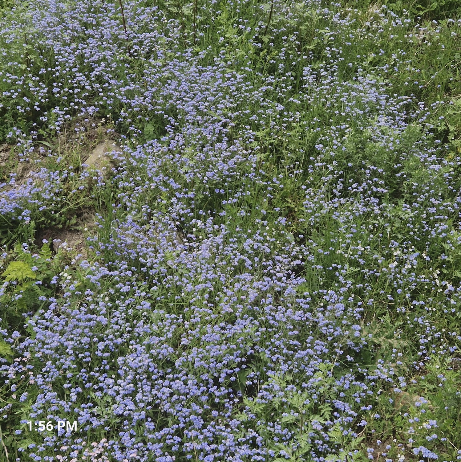
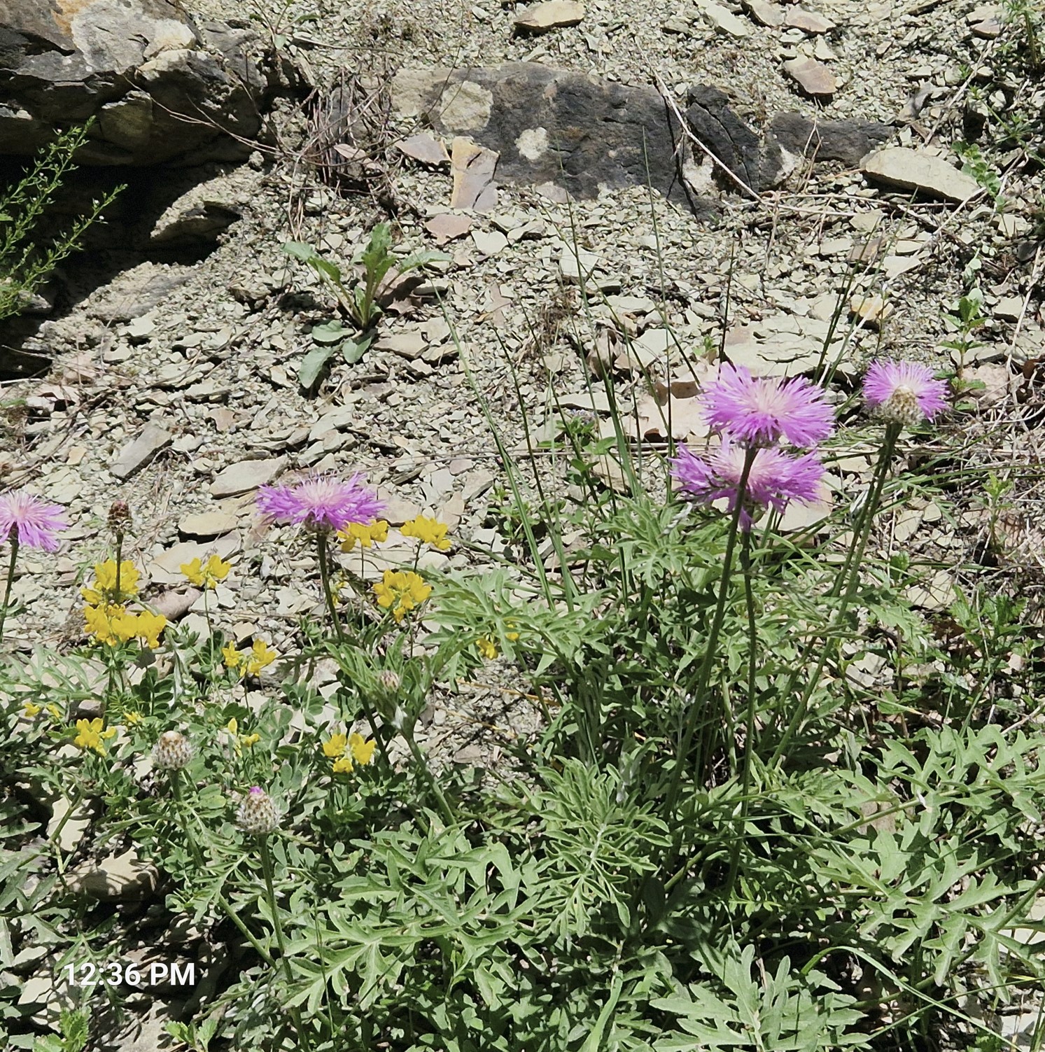
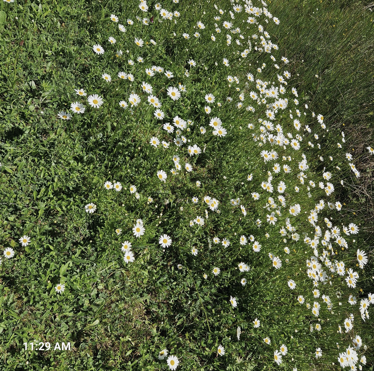
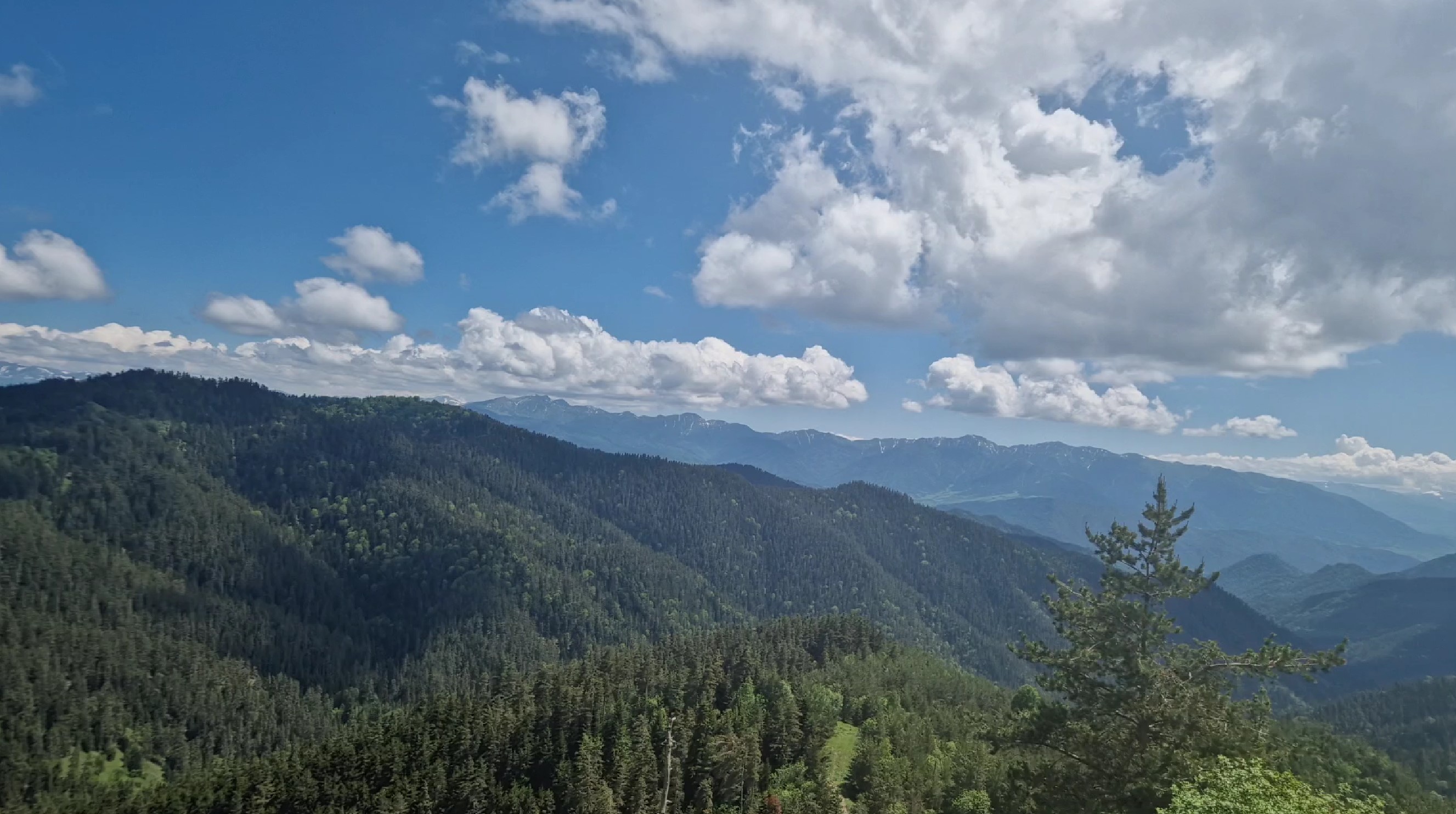
Then came more meadows, with beautiful wild flowers.
This creek we were following caused us quite some issues. There had been some rain in the previous days, so it was quite swollen, meaning we had to cross it quite a few times. At places, it was a piece of cake, with a little bridge built over it, in others, there was only a very wet lumber, where you had to pray not to slip into the cold creek - still at others, you had to time your jump over rocks protruding out of the water perfectly. For Florian, this was definitely easier, I had more trouble, my shoes and socks quickly getting a bit wet, but nothing too bad. In the first hour or so of the hike, we spent quite a lot of effort fighting the creek, so we lost track of time.
We reached a meadow, there was a sign to the right, but Florian, who is anyhow more experienced hiker and had been to this park already, told to go straight ahead. As we later would find out, this was the second mistake that he made that day. We followed the creek further, had to zig-zag across it, then the road veered steep to the right, now we were in a deep forest.

See how large these leaves are...

So in the first part, it was a gentle include, but there was the creek to battle, now it was the steep terrain. At times, it was so steep that I had to take a rest after every few steps - to get a grip, not to fall back.

On the way up, we saw one person coming our way - and it was a national park ranger. Now we feared this, as we would have had to apply for a permission for this hike at some checkpoint, Florian knew about this; he made the reservation on his first hike. but this would have meant a detour in the morning, so we decided against it. The ranger made a feeble attempt at asking for our permission, but then we attacked him loads of questions, with Florian`s map (which he acquired on his first excursion at the park office), for him to pinpoint where we were, he forgot about the original request, phew. What sounded somewhat alarming, at least for me, was that we learnt that were really still a very long way from the end of the trail.
After climbing a very steep point, we reached an intersection, which Florian realized he had been to on on his first, shorter hike. The troubles were not over, as it was now the same steep descent, on rocky ground, where every step meant potentially tumbling down the incline. Not good for my knees either, but luckily, that section did not last too long.
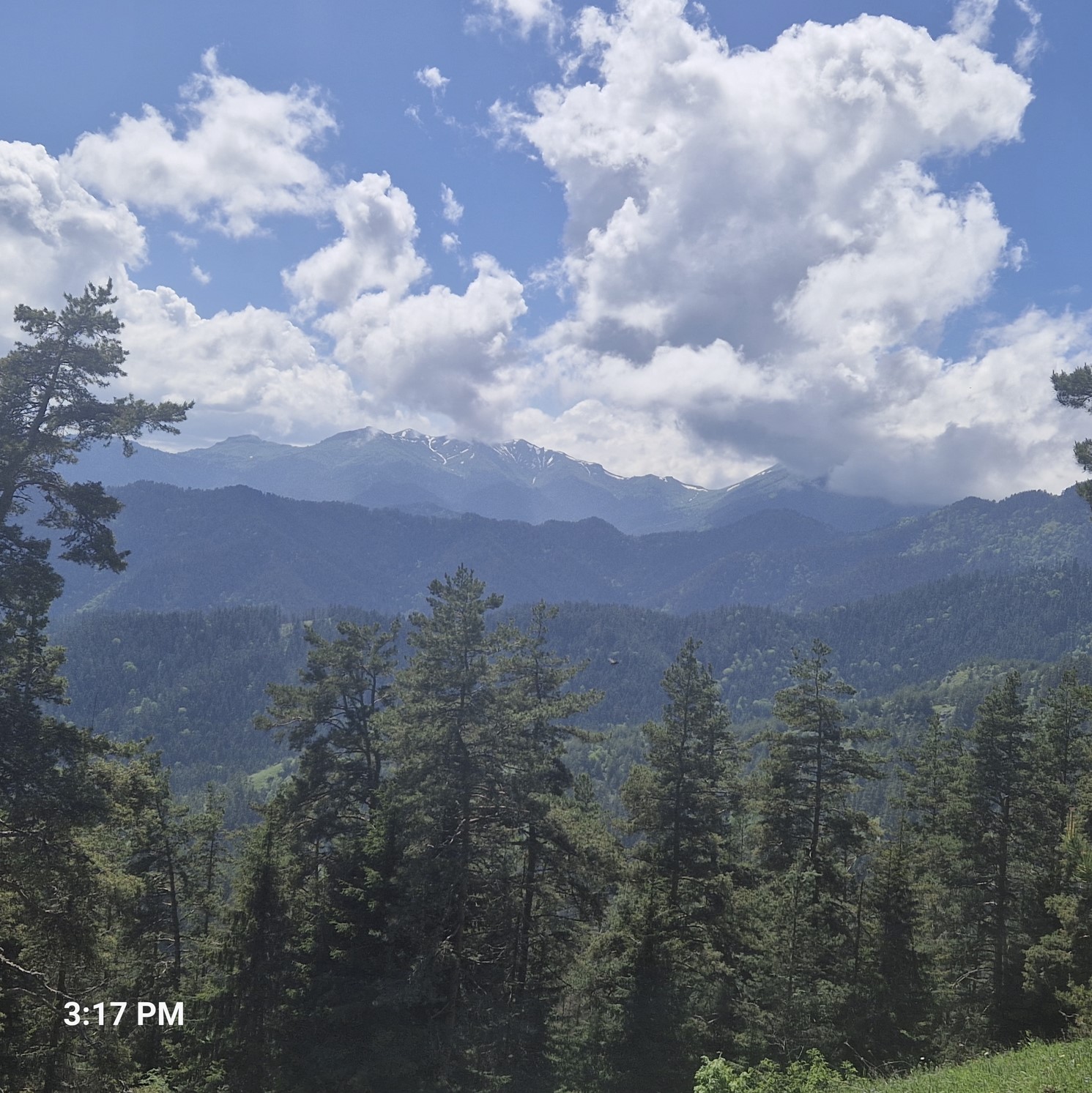
Now we were on a more pleasant part, with nice views of the surrounding landscape and we decided to have a lunch break around 2 pm.
Florian told me to hurry up with lunch, I was quite tired (already), so getting up was a bit of challenge. There were no more big inclines ahead, we were supposedly on the way down, but it meant going down a bit, then back up, then down again, back up, so on and so forth.
So we definitely surpassed the initially planned 13 kilometers and also the indicated 18 kilometers., We were up to about 19 km, when finally a sign came, indicating the trailhead, called Likani, was still 7 kilometers away. I was by then quite tired, 7 kilometers in flat terrain means about 2 hours, here, on the mountain, it took even longer.
When we were on the way down, a Russian solo hiker was on his way up, heavily panting, asking us if we had seen any water. He misjudged the incline and emptied some of his water bottles. We told him there would indeed be a creek, but that would be a couple of hours away - since that, we have not seen any signs of water, just rocky terrain.
Oh, I was really glad to have made it to the Likani trailhead around 6:30 pm, having spent some 8 hours on the mountain. That I was tired was not just a physical issue, it was also a mindset one, as I was initially set for a 13 km hike, which takes 4 hours or so, now we did pretty much double. While Florian contests it, I believe we did 26 kilometers.
In the below, you can see the approximate route initial indicated (18 kilometers) in yellow and what we in blue (well, more or less). The orange part is where we should have turned to the right.

When we got to the trailhead, there was a bus full of Russians living in Tbilisi, who had been on a shorter, 10-kilometer hike. We asked if they could drop us back in Borjomi, they agreed, so we were now on this bus. One young Russian guy, 22, told me he had fled from Russia, for the fear of being drafted to the army, to fight Ukraine. Georgia is a country where Russian national do not need any documents, except for a passport and it is easy for them to get a work permit there. There were indeed a lot of Russians we had met - and also those from Ukraine.
Back in town, us being quite dirty and probably also a bit smelly, we went for a dinner to the former building of the railway station, where we had a pleasant dinner.
During dinner, Florian surprised me a bit - while we initially had plans to do more hikes, especially in the northern (Svaneti) region of the country, he told me he had decided to fly back to Austria on Tuesday (the day after). So the following day, he would return to Kutaisi. Hmm, pity. I was still curious to see more of Georgia, with my return date still being open.
After dinner, we went back to the bus and taxi station, where Florian found a driver, who would ride him the following afternoon to Kutaisi. As for me, I decided to drive to Batumi on the Black Sea coast and take a marshutka there. There was just one service a day there, in the morning, so I booked a ticket there. Funny, the elderly lady at the counter spoke quite good German.
Florian still wanted to hike a bit, but I was done for the day - I still had to pack, with my bus leaving the following morning. Yes, I slept deep...