Friday, July 30
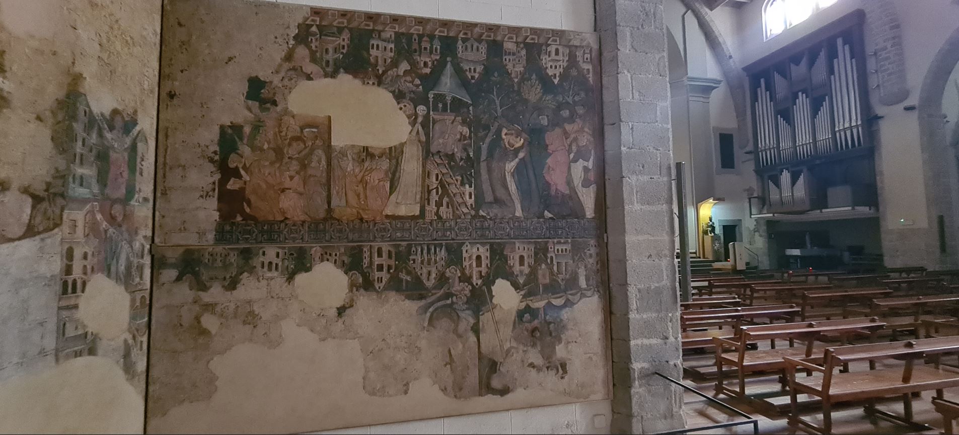
The first thing I saw in the morning was a hot-air balloon flying overhead, they must have enjoyed the spectacle from up there. Now it was all downhill, close to the town of Puigcerda, which is located on a small hill, so after the main descent from the pass, I grudgingly started pushing uphill again. The town is near the Segre River, in direct vicinity of the French border. Wonderful Romanesque churches from the 10th century with wall paintings were to be found here.
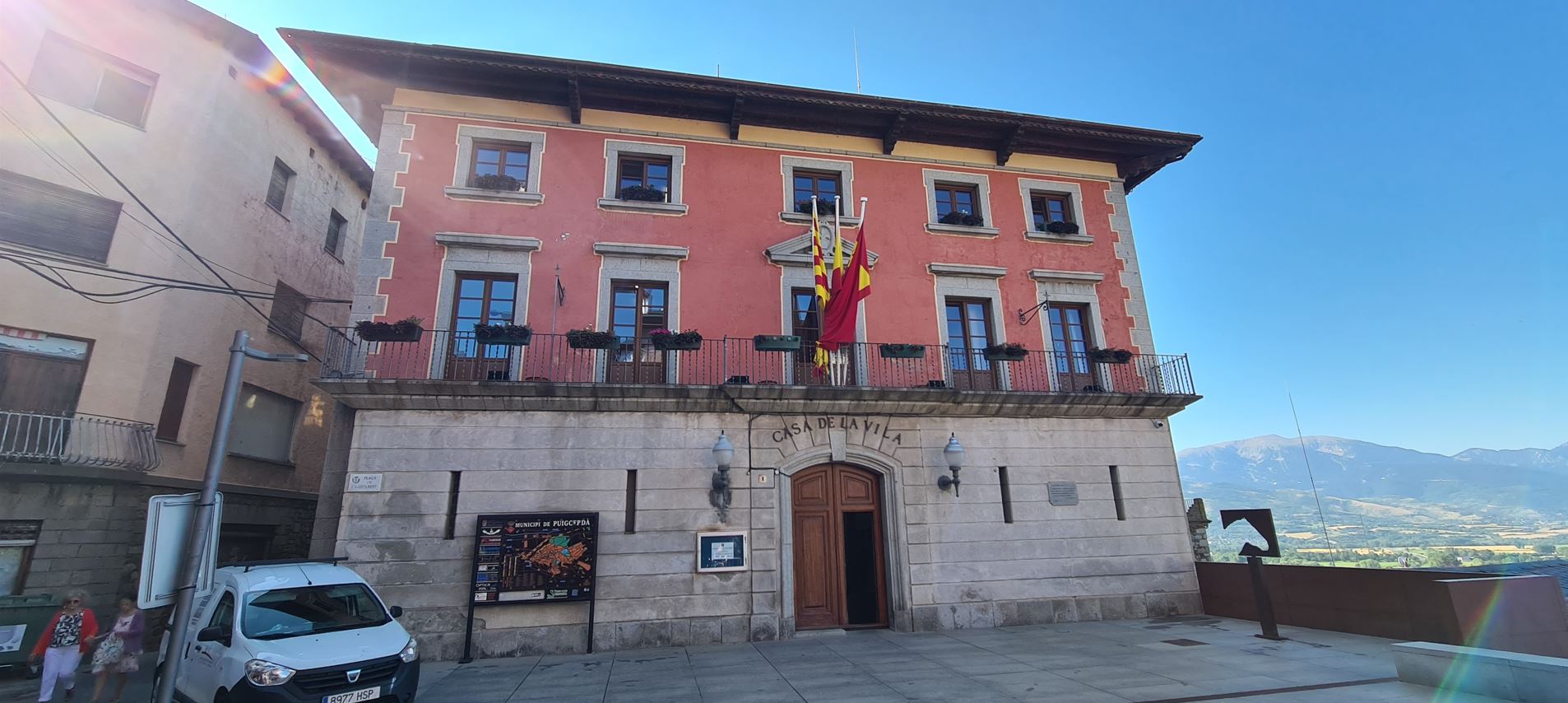
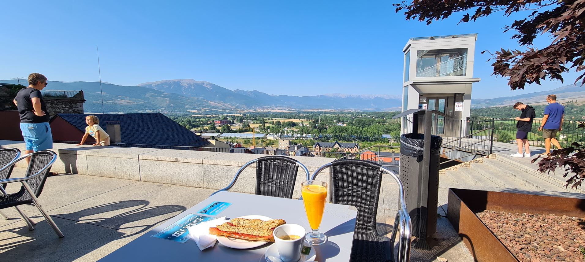
In front of the city hall was a nice square with views of the mountains I had just rolled down from, there I had a nice breakfast. Here in Spain the highlight of my breakfasts was the freshly pressed orange juice – it cost just one euro, about the quarter of the price in Austria.
Leaving town, I entered France – only to arrive back on Spanish territory a few kilometers later, in the town of Llívia. It is a Spanish exclave within France, ever since the Treaty of Llívia signed in 1660. Now comes a funny part: in the 1970s, there was a war between Spain and France over this territory, called the “War of the Stop Signs”. There was a corridor road connecting Puigcerda in Spain with the enclave in Llívia, which the Spaniards could use without having to show their passports – mind you, this is before the formation of the Schengen Treaty. The French government built not one, but two national roads that crossed this short stretch of corridor road, putting up stop signs on it – probably with the urge to display some sort of superiority. The Spanish people wanted to have none of it – so they kept stealing these stop signs at night, only for these to be put up again a day later (wash, rinse, repeat). All of this is now history, just some small signs make you aware you are crossing a border.
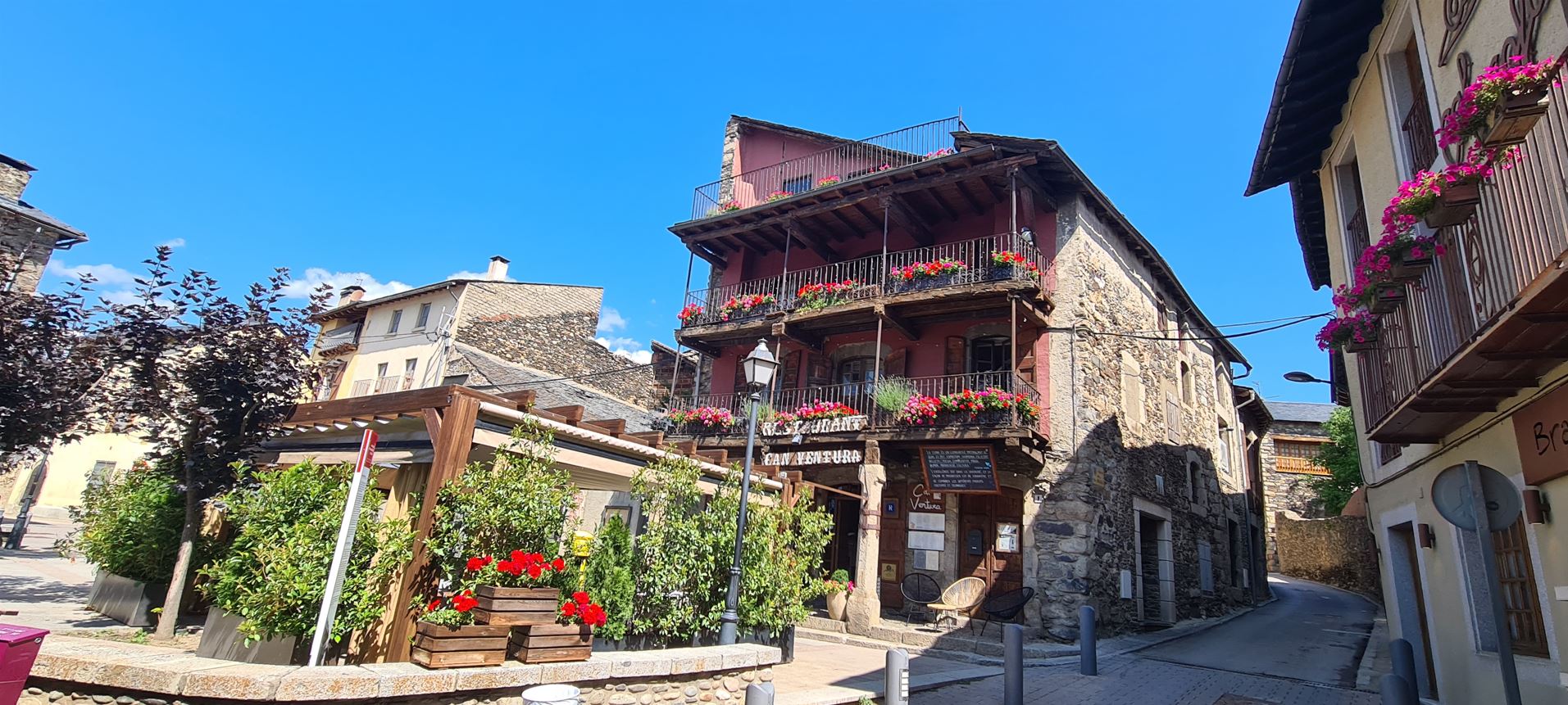
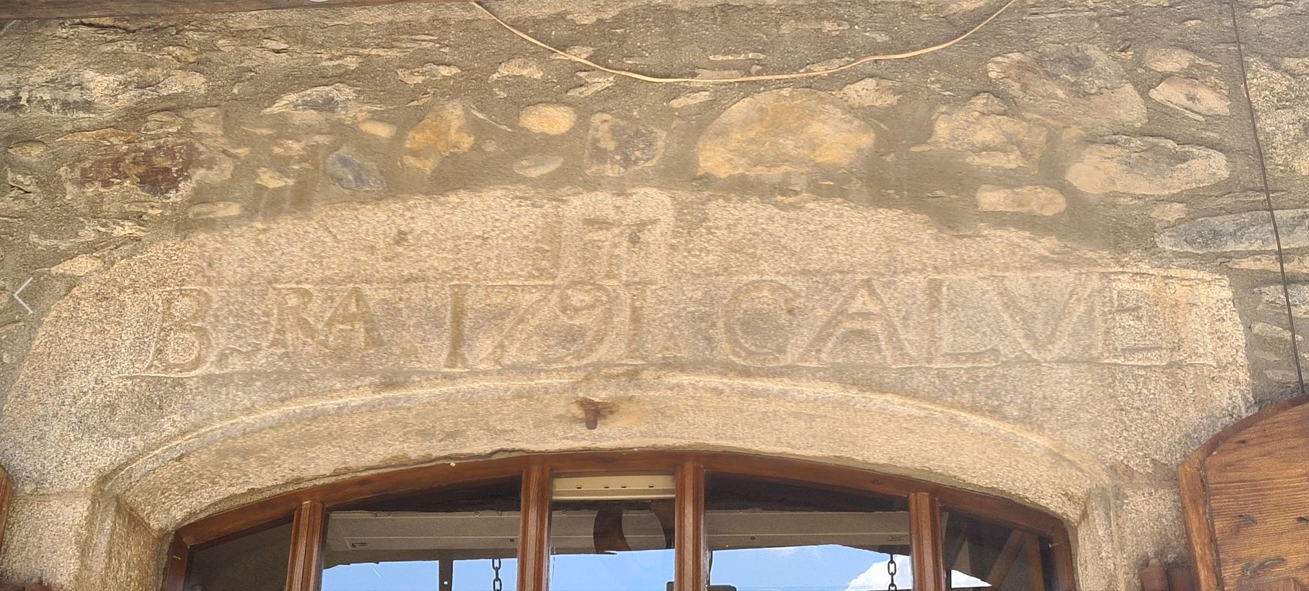
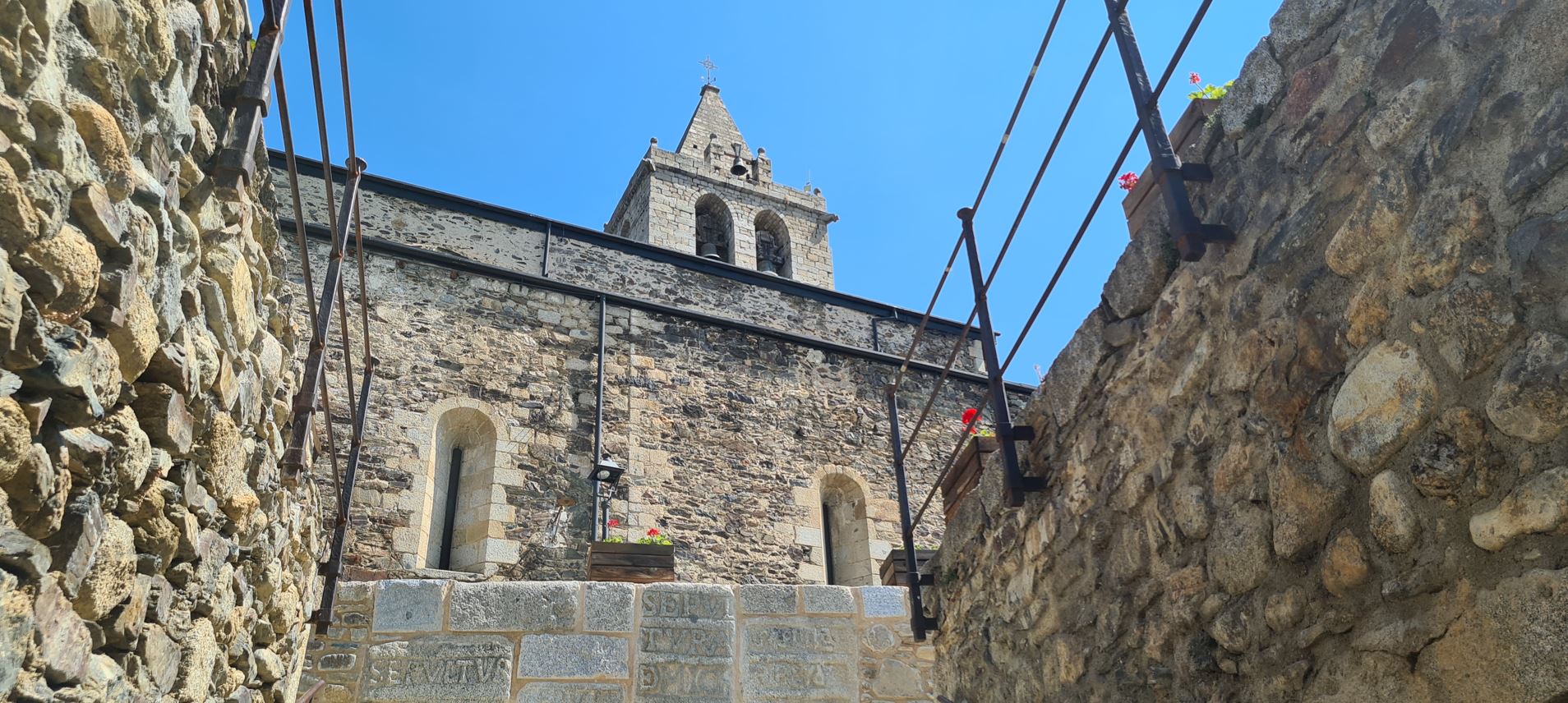
Anyhow, Llívia itself is a picturesque small town, a lot more touristy than the others I had visited, with wonderful old stone houses decorated with flowers and a Romanesque church.
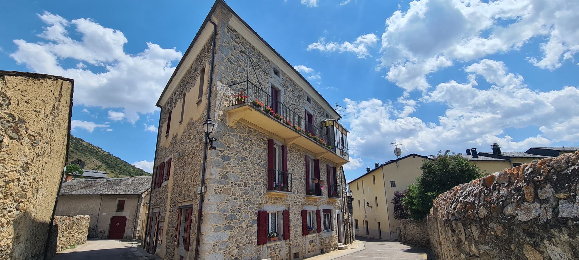
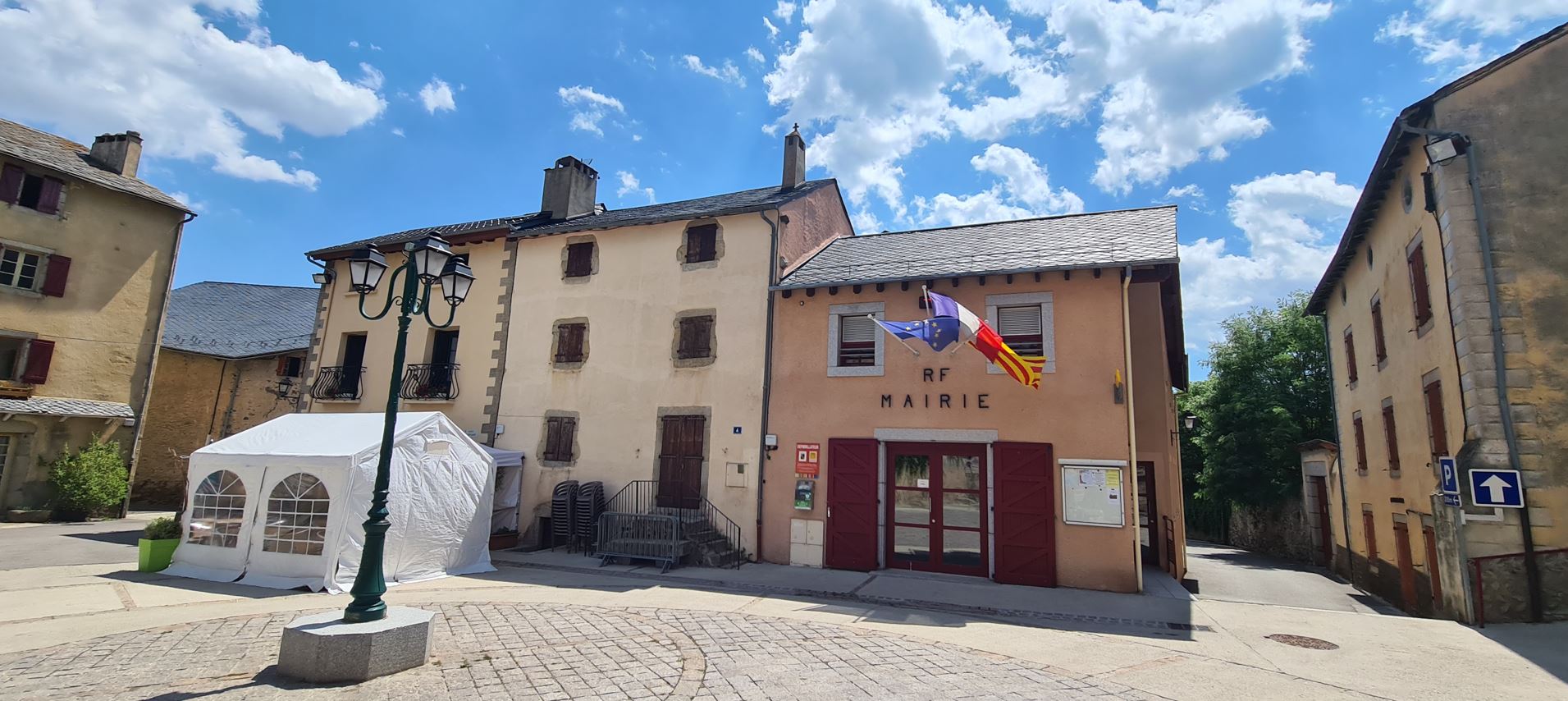
Leaving town, I re-entered France and decided to stay in the country for a while. I was riding through tiny villages, where, except for the few cars, one would easily have thought to have travelled back a hundred years, if not more, in time.
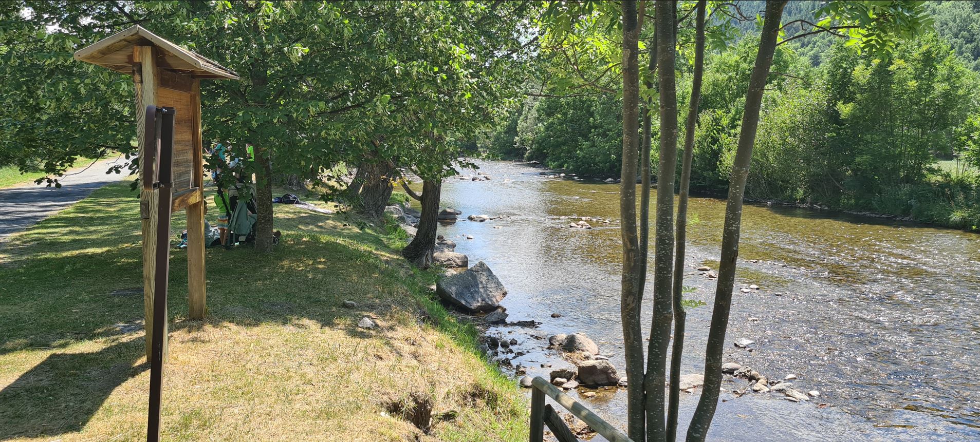
Here I did chose to ride on bike path next to the Carol river, it had a wonderful green shore with families picnicking and children bathing. I also jumped in, it was great to freshen up, after all, the helicopter landing space up on the mountain top was not equipped with a proper bathroom.
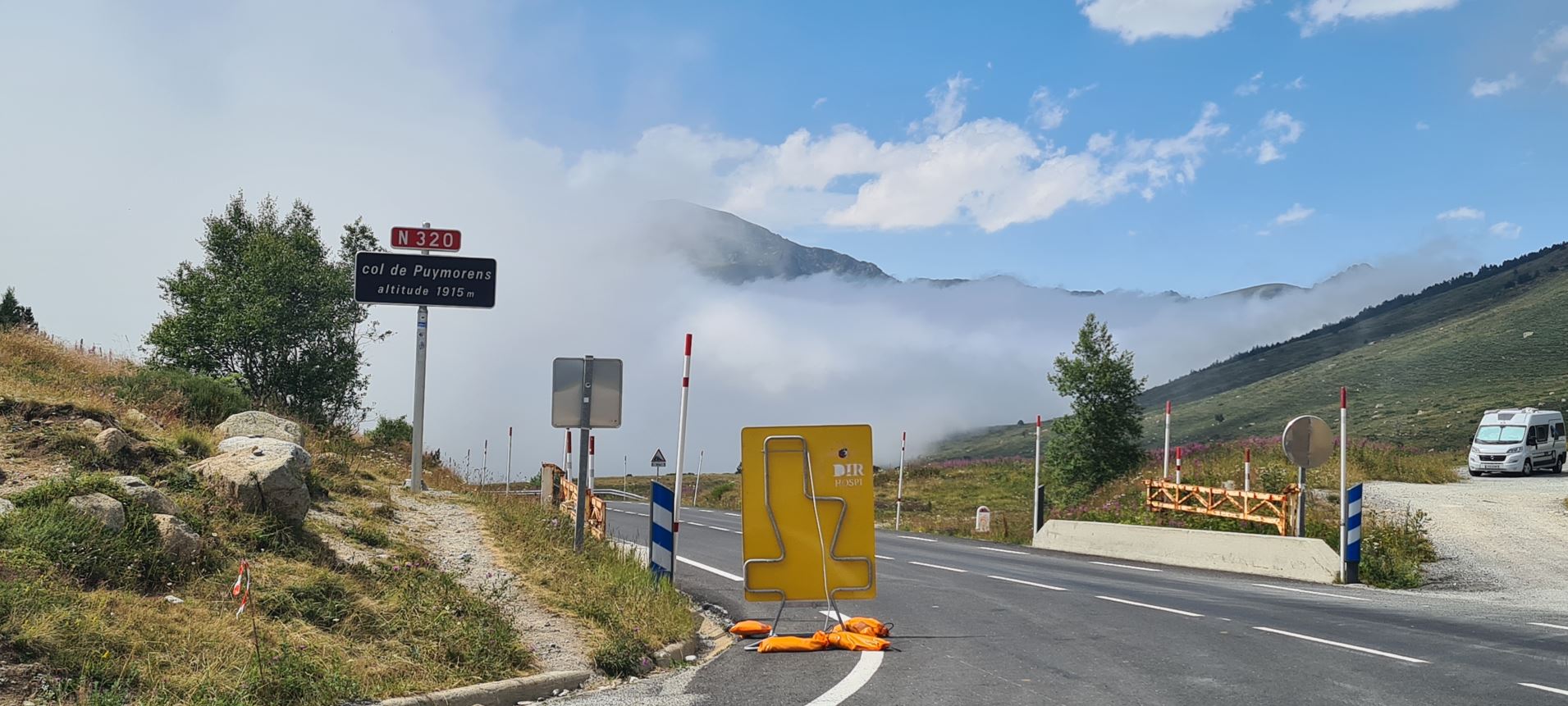
Well, we are in the Pyrenees, and guess what – another climb waited for me, right until Col du Puymorens at 1,915 meters of elevation, apparently on the road marked N320. It was blue skies during the climb, at the top, I did see some low-lying clouds, or was it rather fog? Yup, the latter.
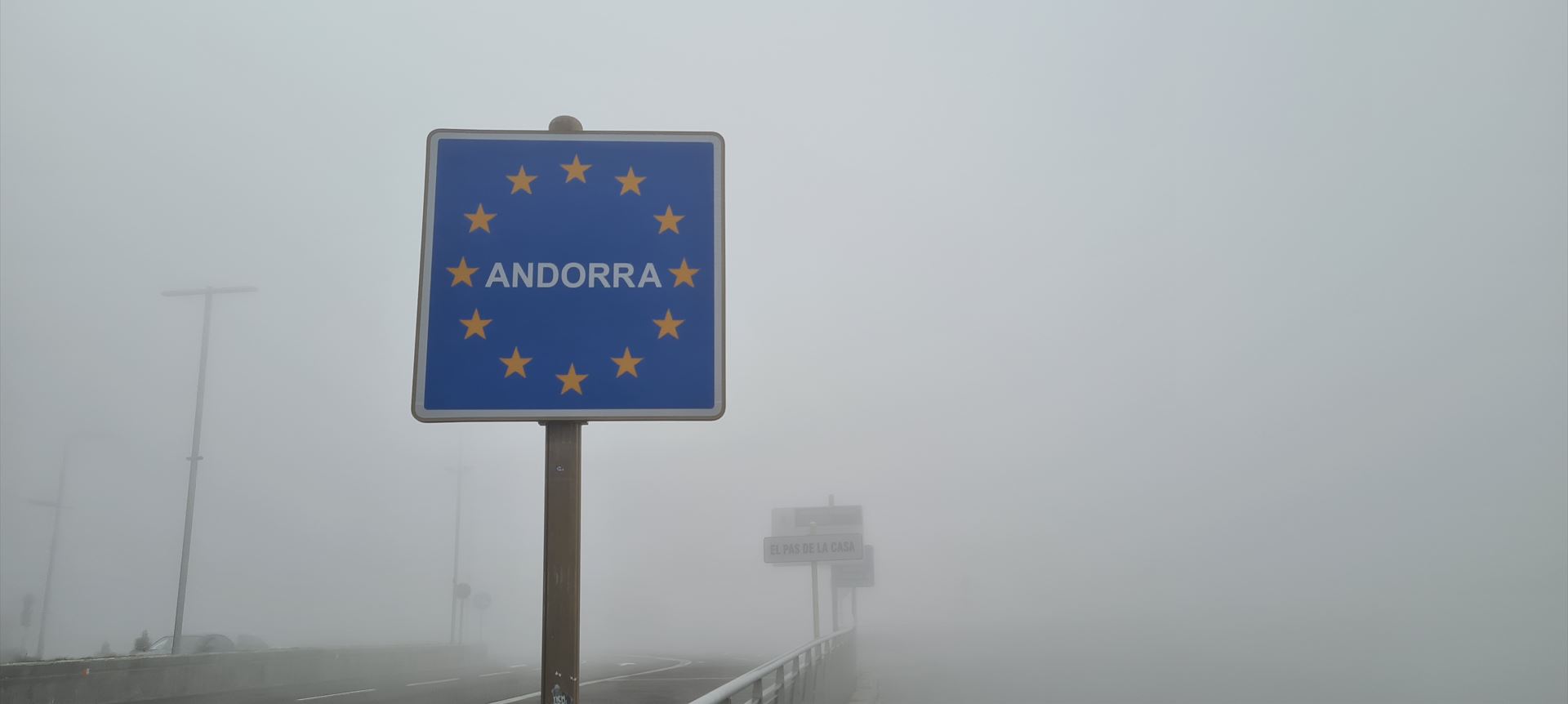
Not sure why, but traffic picked up considerably, which was not the most convenient thing, as I was now riding in rather heavy fog, surrounded by quite some traffic It was so that I reached the principality of Andorra – all I saw was the sign proclaiming it to be, literally nothing more.
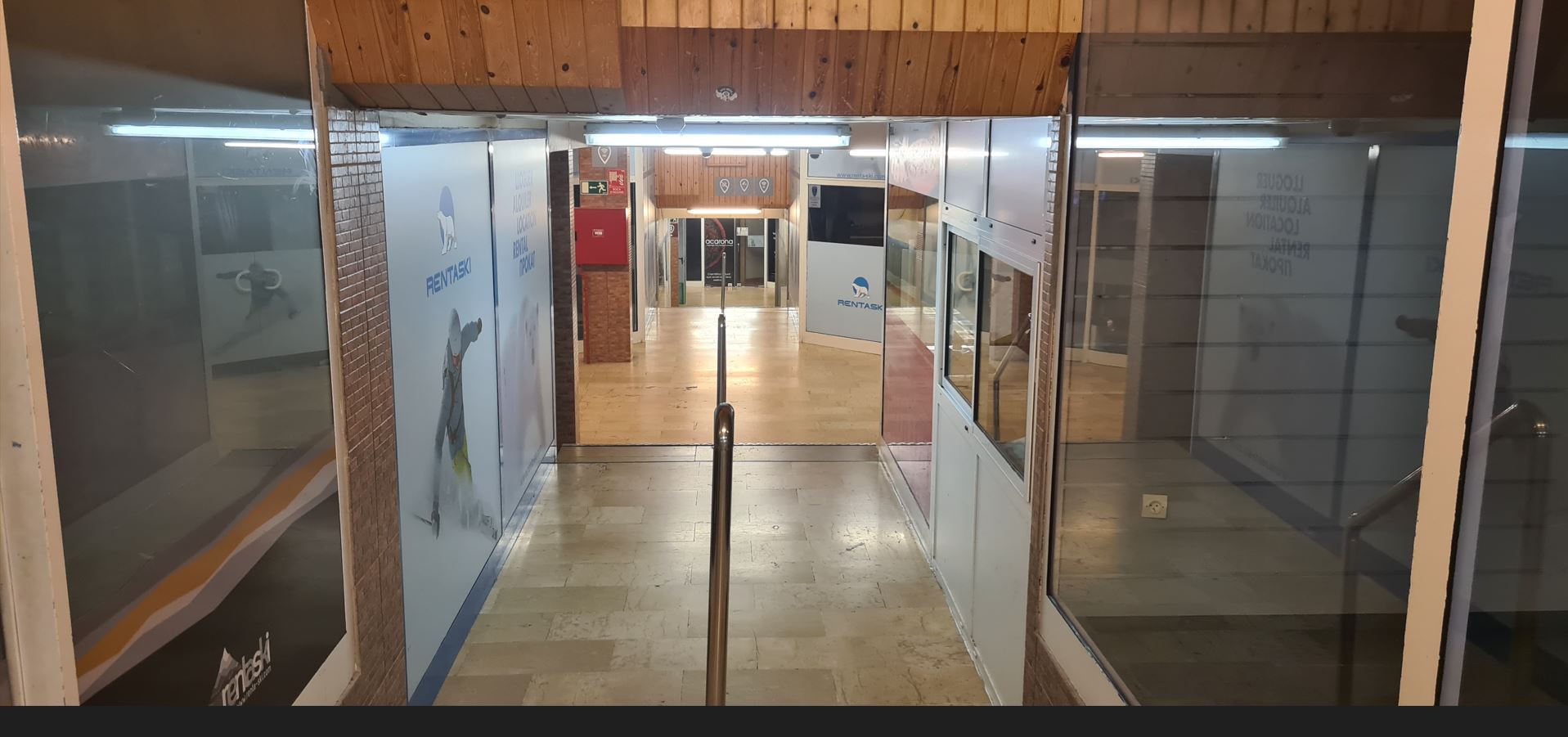
I got to the first town, called Pas de la Casa, a skiing resort. For sure the depressing weather was at least partially to be blamed - this was one of the few towns on this trip which I really did not like. Large tax-free shops, streets cramped with houses with no mentionable architecture – just a lot of concrete. The place probably looks more inviting when full of skiers on a sunny winter day are flocking the streets, but on that day, I was appalled by the ugly alleys of closed shops. I found a 3* hotel for about €50, had (I think) a burger in one of the restaurants and also found a self-service laundry for my clothes. Once the clothes were dry, I fell asleep.
Here you can see the trip in Google Maps, it was about 60 kilometers, with roughly 1,200 meters of elevation of climbing and 900 meters of descent.