Thursday, August 5
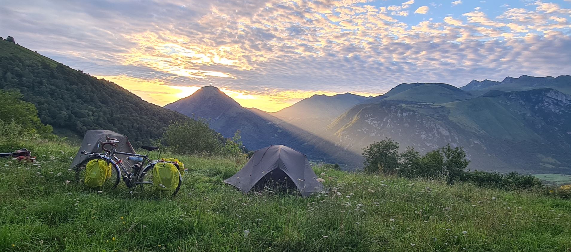
The next morning the rising sun greeted us from behind the mountaintops.
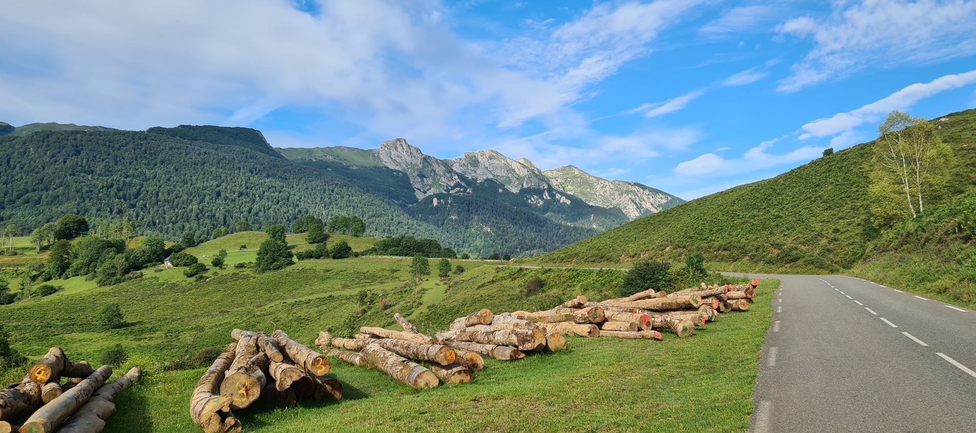
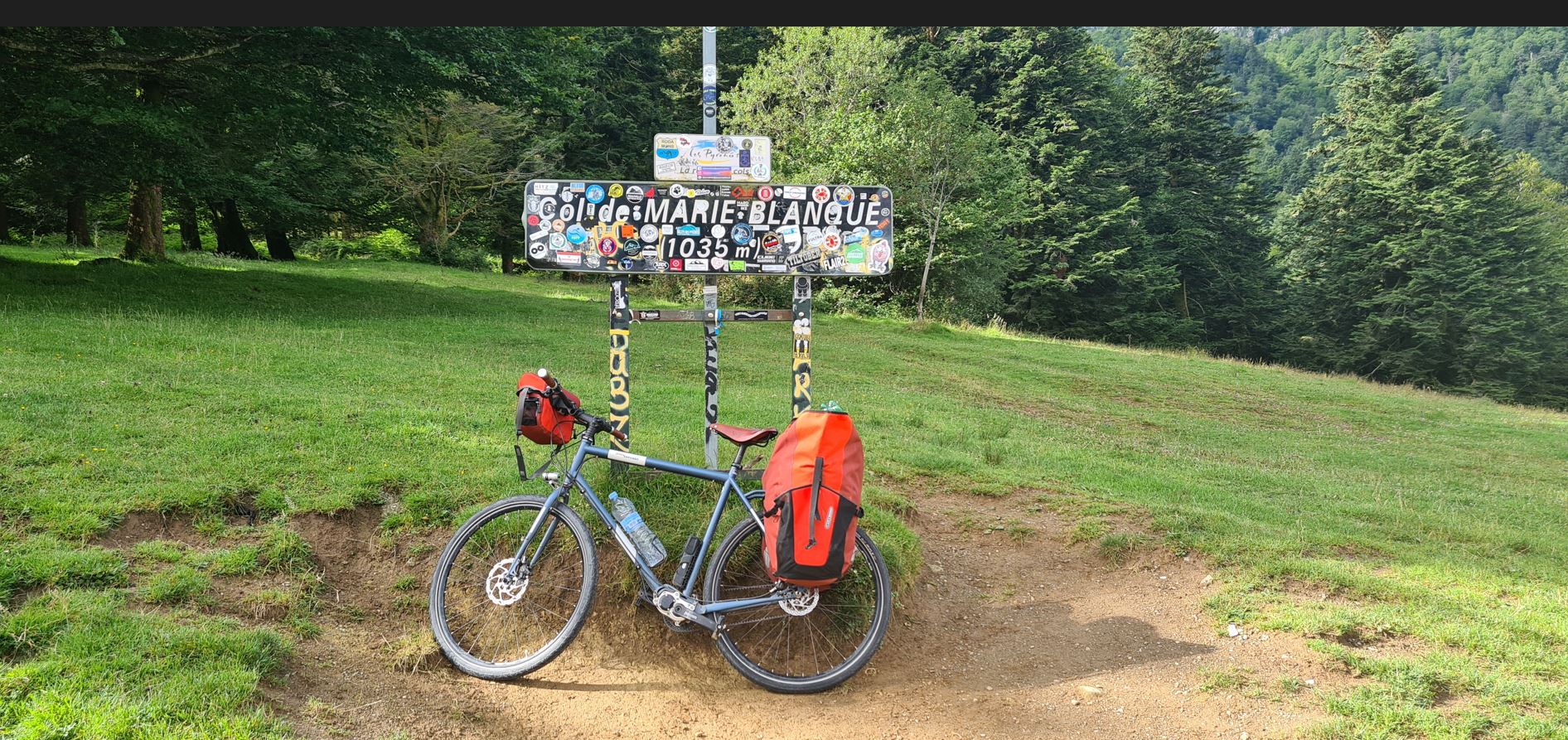
We had breakfast together, then set off for the summit. We got first to a large open pasture, soon afterwards we were at Col de Marie Blanque at 1,035 meters.
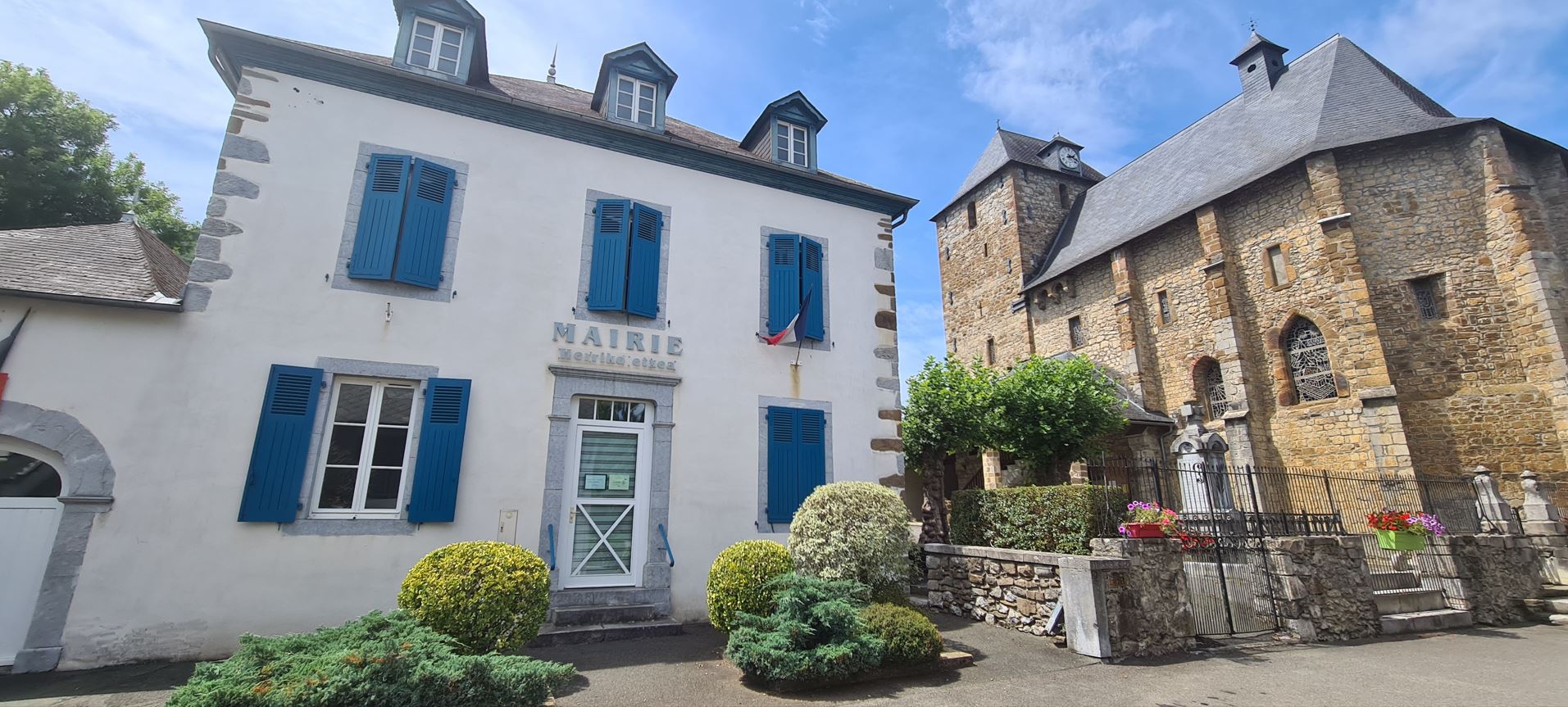
We rode down to the village of Escot, where we met and chatted with some other bikers and even hikers crossing the Pyrenees on foot.
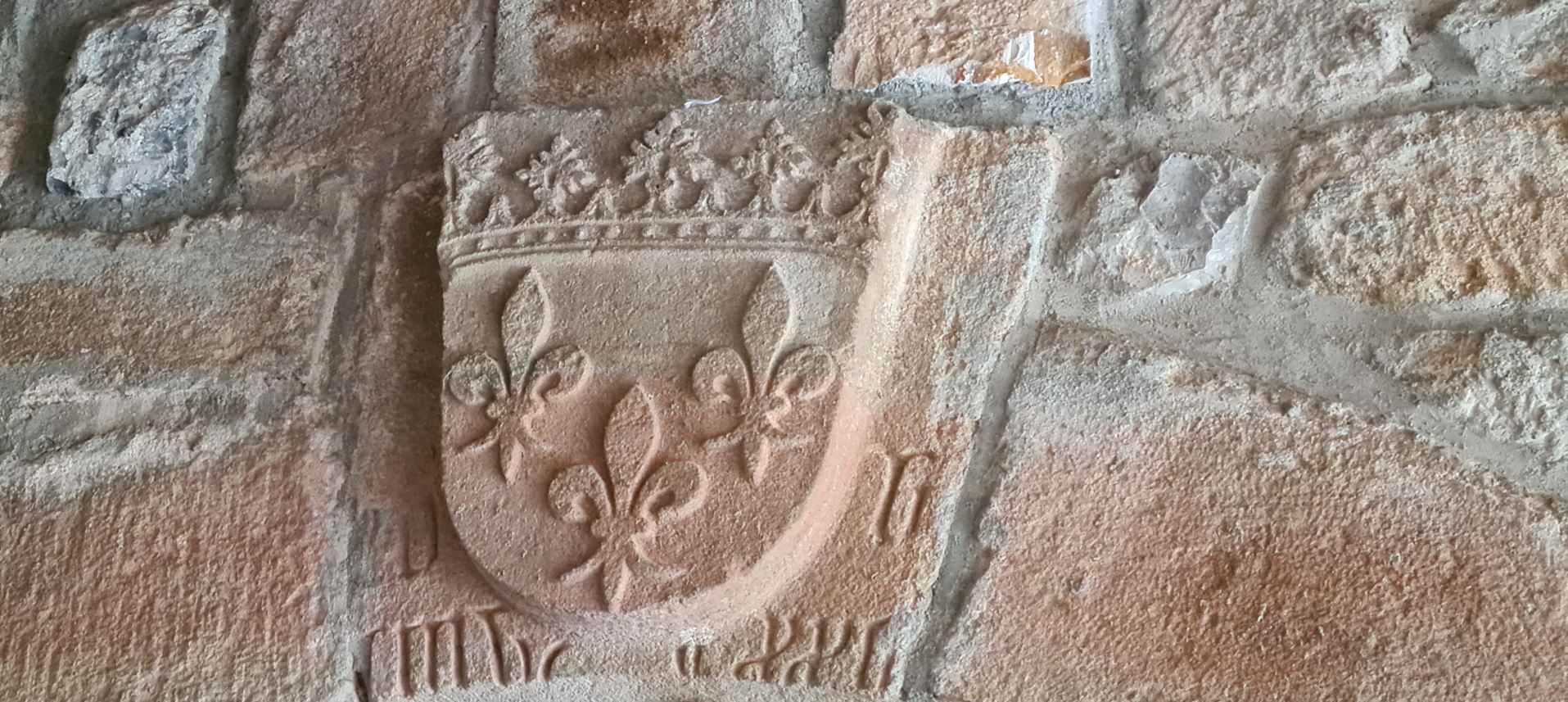
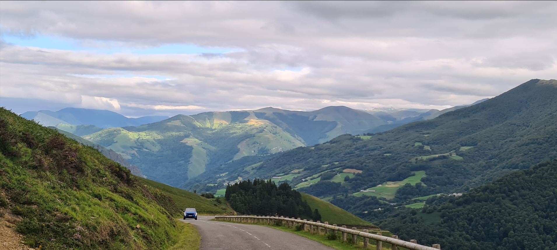
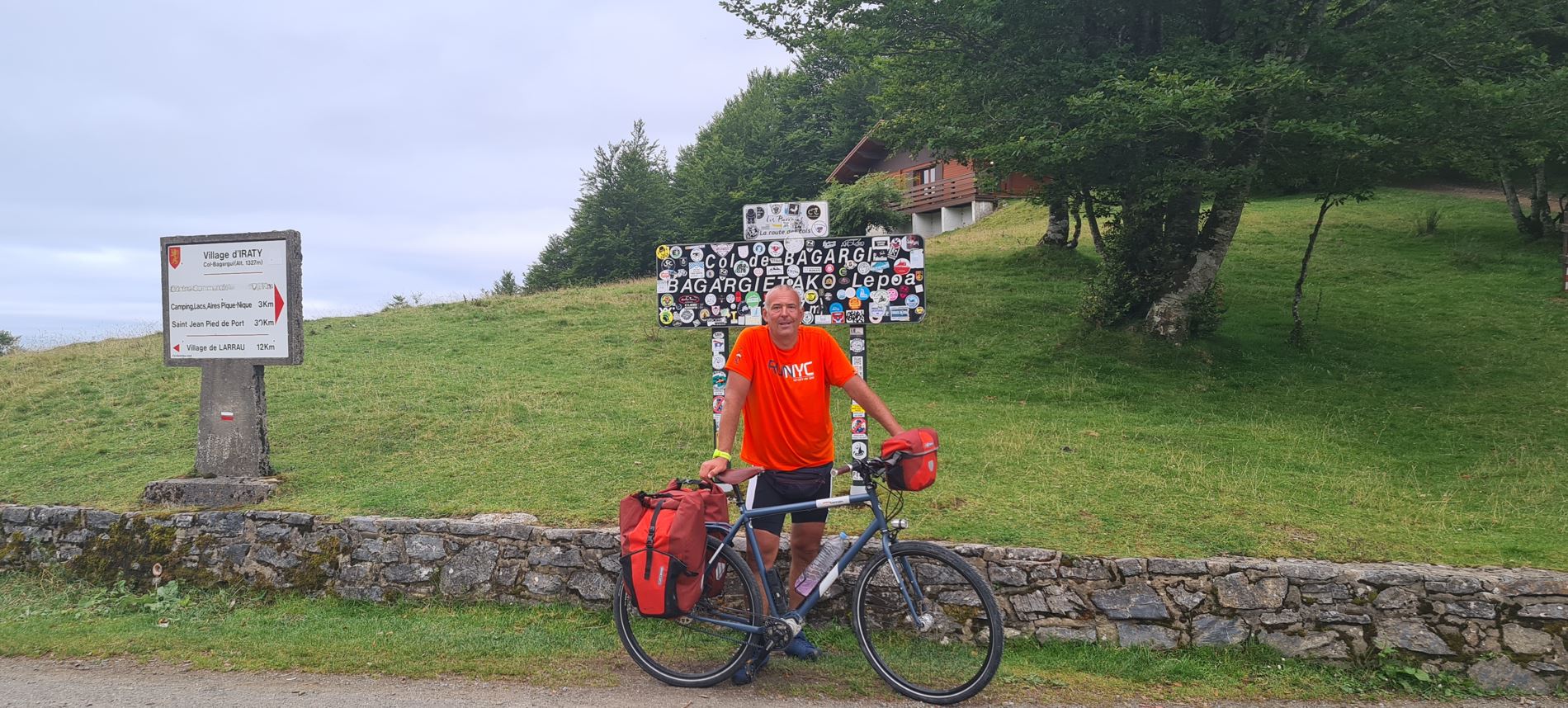
We continued northwards to Oloron-Sainte-Marie, which is on the border to Basque country. There Juriaan and I split up, he told me he was too heavily loaded for the upcoming section so I turned southwest towards Spain, heading up one more more pass, Col de Bagariak at 1,327 meters. At first, it was an easy going, riding next to a small river, I was making good distance, was a bit confused by the fact how quickly the kilometers were piling up, but did not really have a feeling for the elevation gain. Why was Juriaan so vary of this road?

I thought I must have had already reached the summit, the road started dropping, but now everything became clear - after a descent, a grueling, exhausting climb began, with more than 600 meters of elevation made in just 6 kilometers. Luckily, it was very light traffic, so I could use the “snake” tactic, going from the very left side of the road to the other side, then back, this made the ascent somewhat easier. It was close to 8 pm that I made it to the top and rested for a bit - I must admit I was really exhausted.
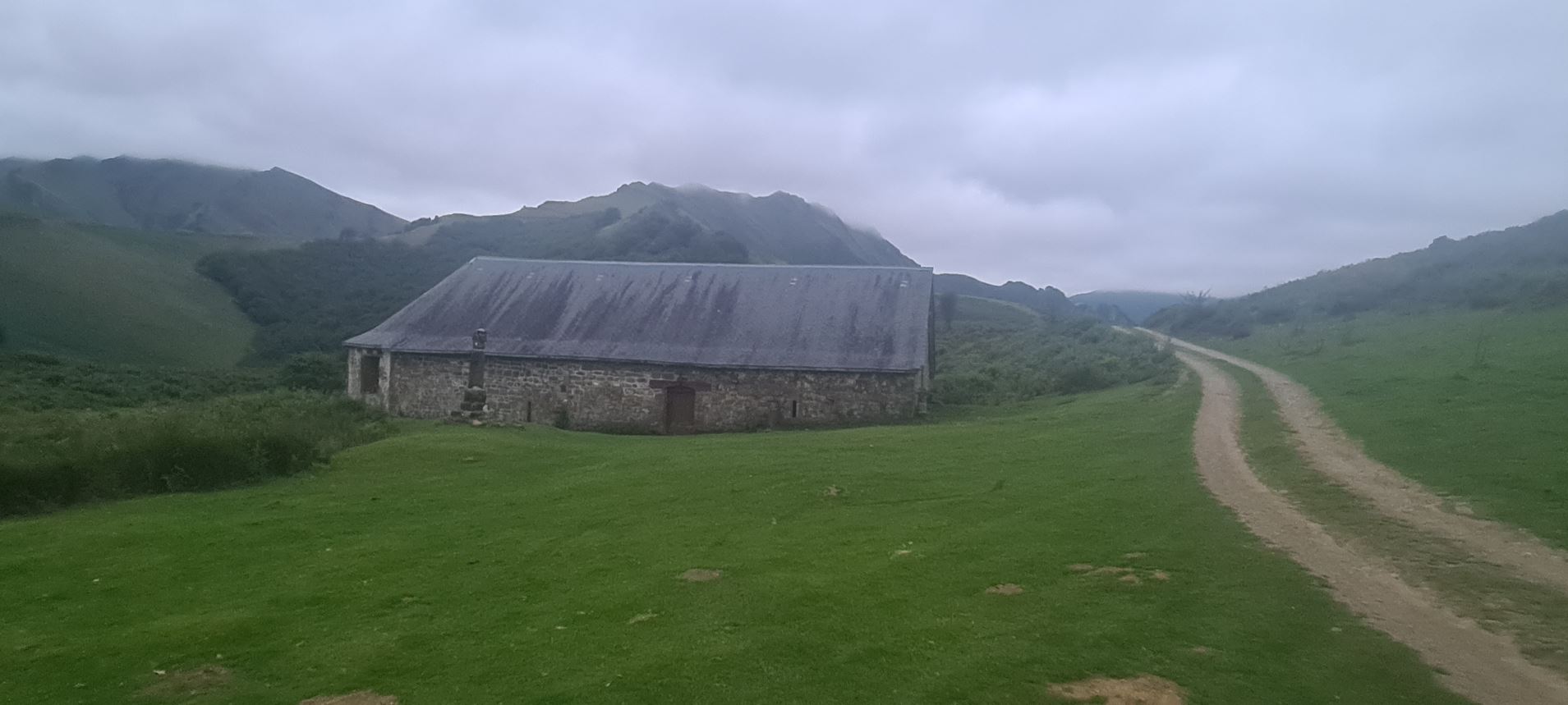
It should be an easy way down, so I thought, and the downhill section started – and it abruptly ended, only to start ascending again, to yet another summit, Col de Burdincurucheta (OK, we are in Basque country, as I mentioned...) at 1,135 meters.

This was close to 9 pm. Well, civilization was still far away, so a little after the second summit I opted for a meadow next to the road. To make sure I was not troubling anyone, I knocked at a small farmhouse, the farmer told me not to worry at all, he said it was OK for me camp out there, which I did.
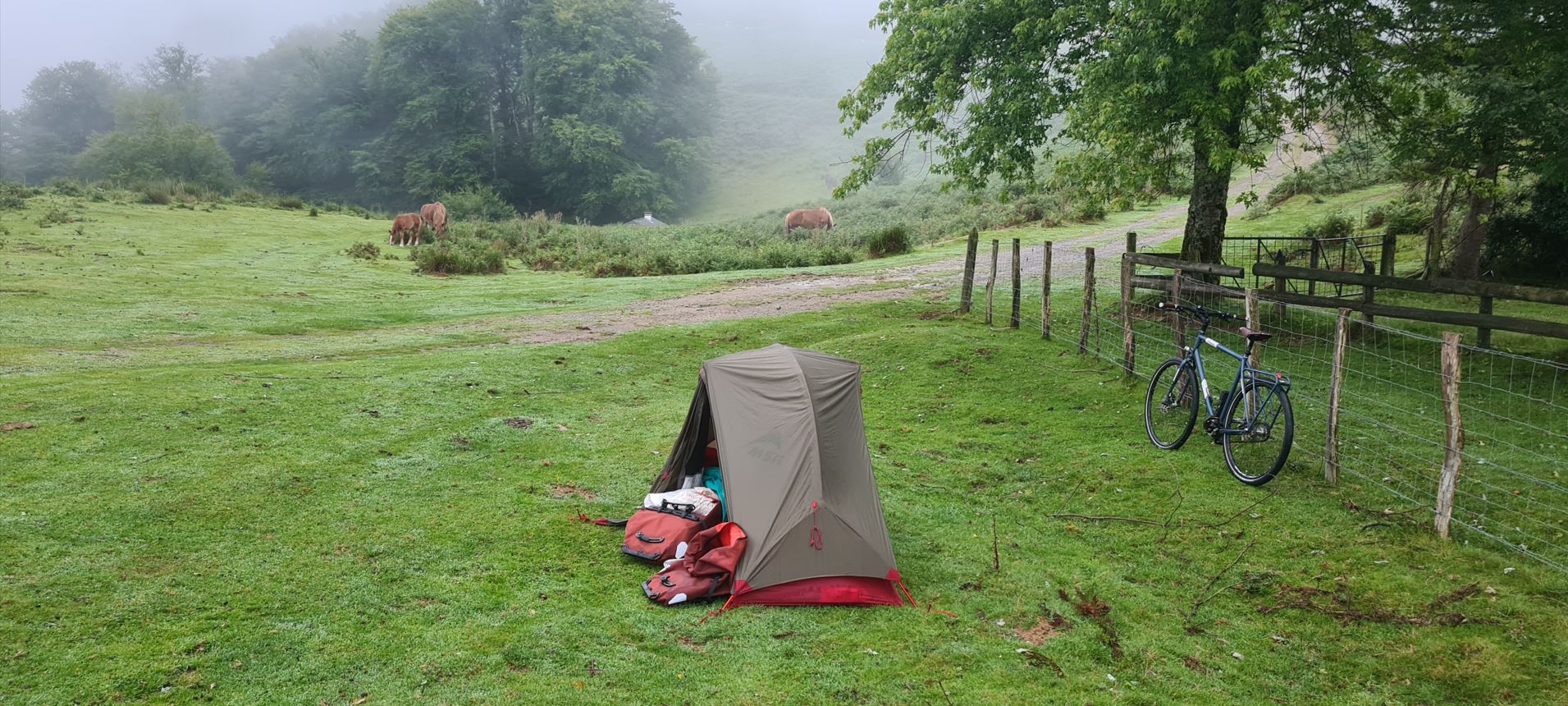
I heard multiple noises that night, one was those of raindrops falling on my tent, the other was all kinds of animals walking right past me - with that, I fell asleep. I was quite glad those last two passes were behind me - while not the highest, they were really challenging.
Here you can see the trip in Google Maps, it was 97 kilometers, with 1,656 meters of climbing and 2,349 meters of descending.